

Measured, Not Estimated
Survey-grade capture with ground control, delivered in the formats your engineers already use.

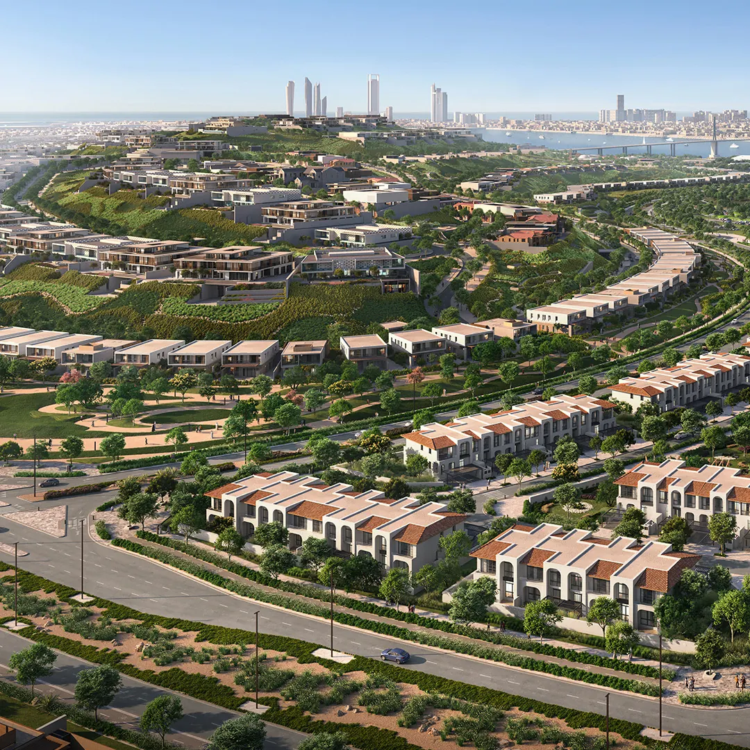
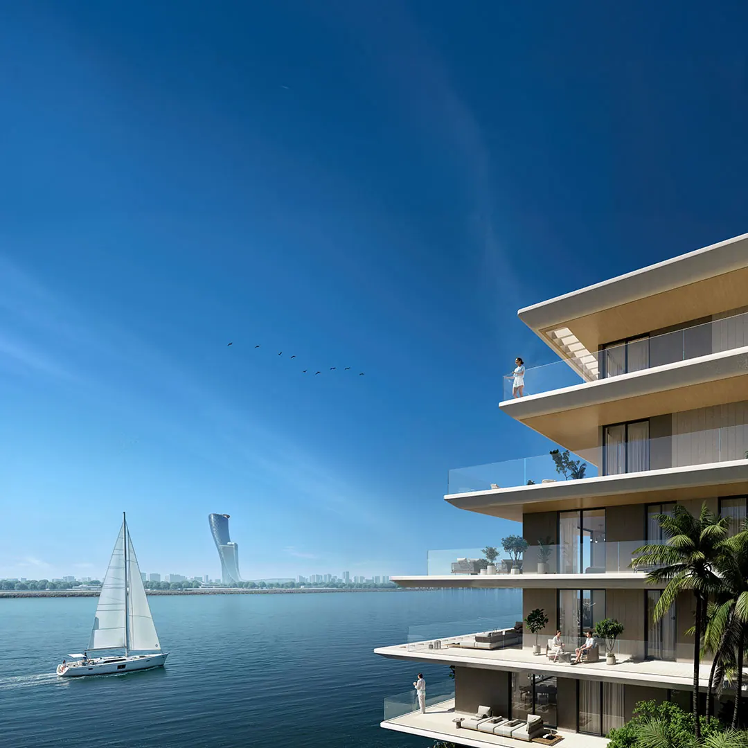
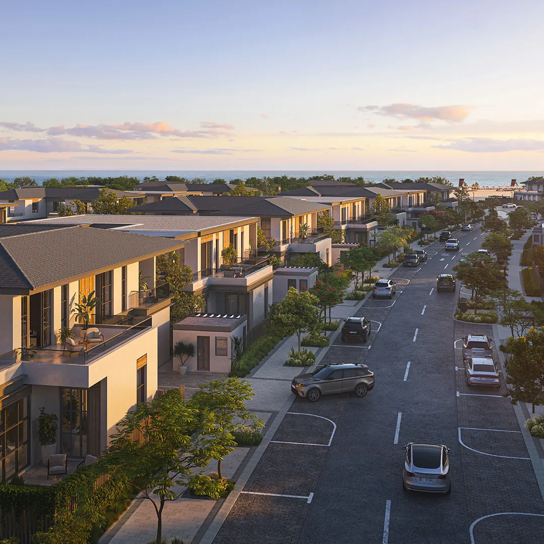
Hudayriyat Island is Modon’s multi-year masterplan off Abu Dhabi — residential communities, sports venues and leisure destinations, each on its own programme, being built across roughly 36 square kilometres. AirTech has documented it since 2022.
A single site is straightforward to photograph. An island with a dozen live developments at different stages is not. Progress has to be recorded consistently across all of them, the record has to survive changes of contractor and consultant, and the same imagery has to serve the project team, the client’s GIS department and the marketing office — who want quite different things from it.
It also has to still be there years later. On a programme this long, the question is rarely what the site looks like now. It is what a given plot looked like in a particular month, three years ago, when a claim or a dispute turns on it.
Fixed time-lapse cameras across the island — on the residential communities at Nawayef, Al Naseem and Bashayer, at the Velodrome, at the High Performance Centre on Hudayriyat West, and at Marsana Beach. They are solar powered and SIM connected, so they need no mains supply and no site network. Cameras are relocated as developments complete and new plots break ground, and each new position is chosen from a viewshed study run against our own survey terrain rather than from a site walk alone.
Alongside the cameras we have flown complete drone surveys of the island at approximately monthly intervals since November 2023. Each survey covers the full masterplan area at 3 cm ground resolution, with marked ground control set out and fixed by GNSS before every flight and the results verified against independent check points that were not used in the adjustment. We run concurrent survey teams so a whole survey is one consistent snapshot rather than a set of different days stitched together.
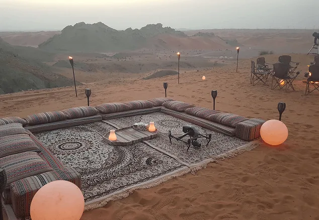
Every survey delivers the same four formats, so datasets compare directly across years: orthomosaic, contours at 0.05 m and 0.5 m, digital surface model, and point cloud. We have also produced a 360 tour at Bab Al Nojoum, the glamping resort on the island.
These communities sell off-plan. Modon announced in July 2026 that the final phase of Bashayer sold out within a day of launch, and Hudayriyat’s first waterfront community was reported to have sold out in 24 hours. A continuous, dated, georeferenced record of construction is what a developer draws on to show progress — to buyers, to consultants, to its own board — and it only exists if somebody was capturing it from the start.
Because it is one supplier. The cameras, the drone surveys, the panoramas and the platform are all ours, so nobody is co-ordinating three vendors to establish what a plot looked like in a given month. The record is in one place, it is consistent, and it goes back to 2022.
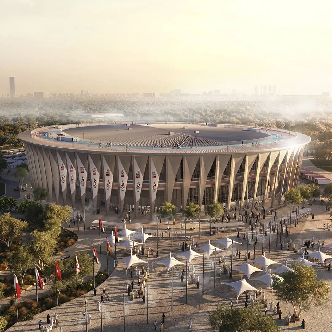
Visualisations of the completed communities: Modon. Construction imagery and survey data: AirTech.
Survey-grade capture with ground control, delivered in the formats your engineers already use.
A registered RPAS operator flying with DCAA and GCAA approvals, and USD 5,000,000 third-party liability cover on every job.
Every capture lands in the AirTech Portal and stays there for the contract term, with individual logins and an activity log.