


Measured, Not Estimated
Survey-grade capture with ground control, delivered in the formats your engineers already use.

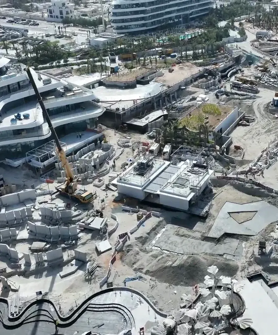
Progress monitoring is a monthly drone visit to your site, flown the same way every time so each month lines up exactly with the last. Developers see what has been built, contractors have dated evidence for valuations and claims, and consultants check progress against the programme without a site walk.
We fly across all seven emirates and handle the flight permits. Lead time is 2 to 3 weeks once the necessary NOCs are received from the client.
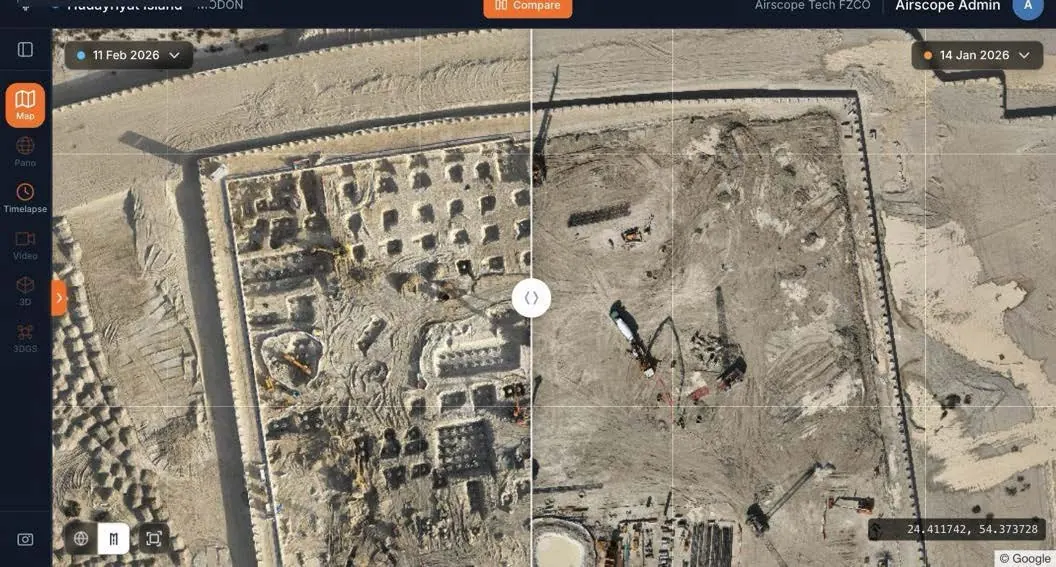
Each survey is co-registered to the one before it. Swipe between any two dates on an identical view, measure cut and fill, and check stockpile volumes against a boundary base. The repeat viewpoints build into a dronelapse film of the whole project, ready for the board pack.
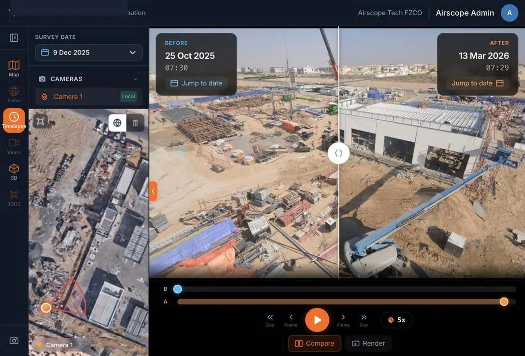
Where a site also has time-lapse cameras, the monthly flights sit on the same record: the daily view from the ground and the monthly view from the air, in one place for the life of the contract.
On film
Survey-grade capture with ground control, delivered in the formats your engineers already use.
A registered RPAS operator flying with DCAA and GCAA approvals, and USD 5,000,000 third-party liability cover on every job.
Every capture lands in the AirTech Portal and stays there for the contract term, with individual logins and an activity log.