

Measured, Not Estimated
Survey-grade capture with ground control, delivered in the formats your engineers already use.

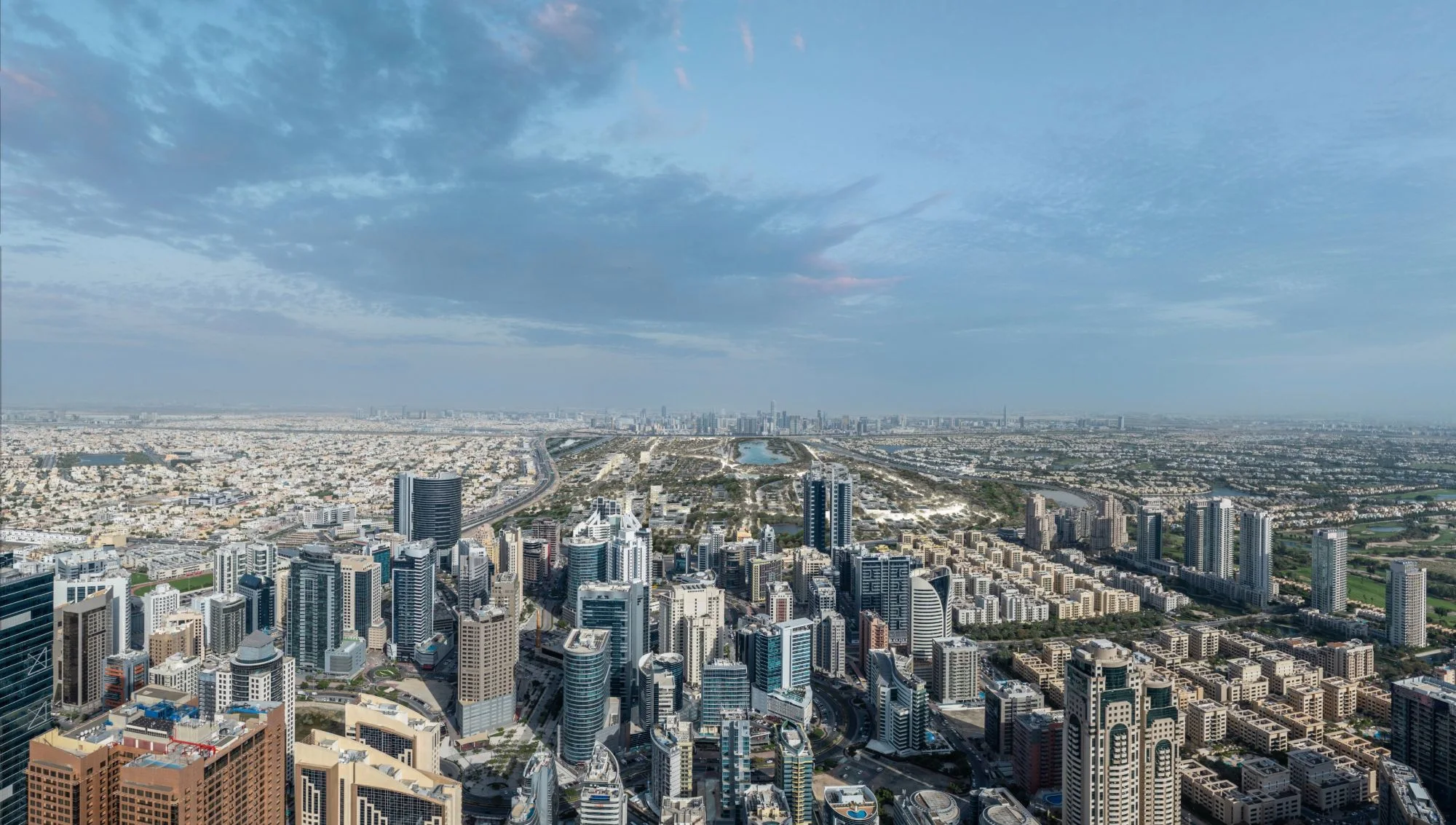
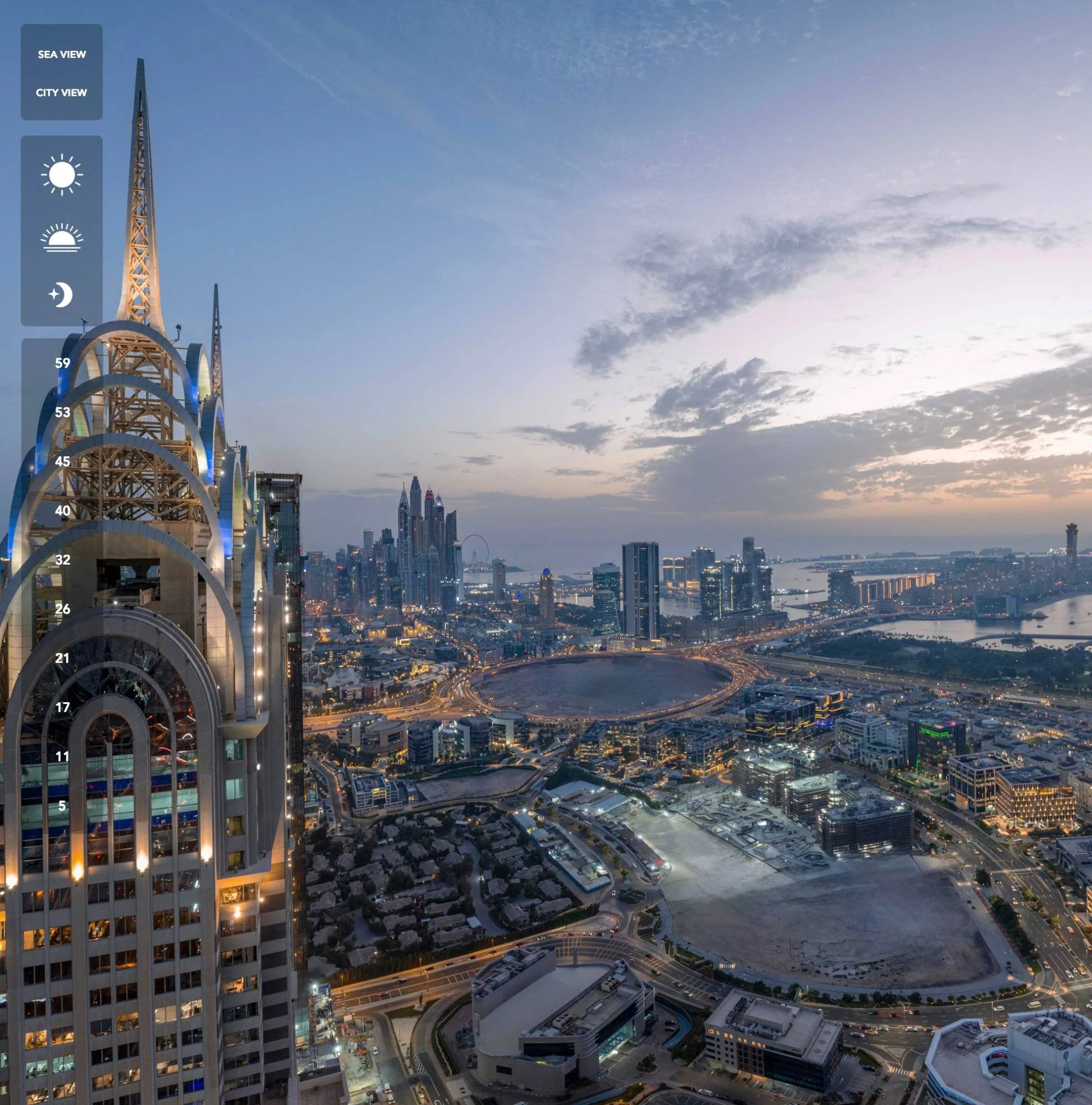
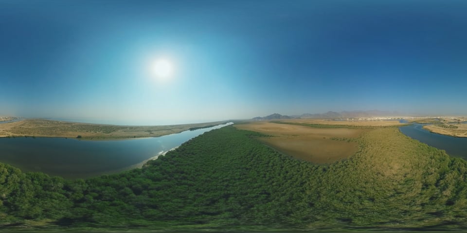
360 panoramic tours across the UAE — from the air and from the ground, delivered as a navigable tour you send as a link. We build them two ways, and the difference matters more than most suppliers admit.
A marketing tour is shot once, at the right time of day, and finished to look its best. It sells a building: a tower’s views floor by floor, a completed resort, a showhome. It is a piece of creative work and it is judged on how it looks.
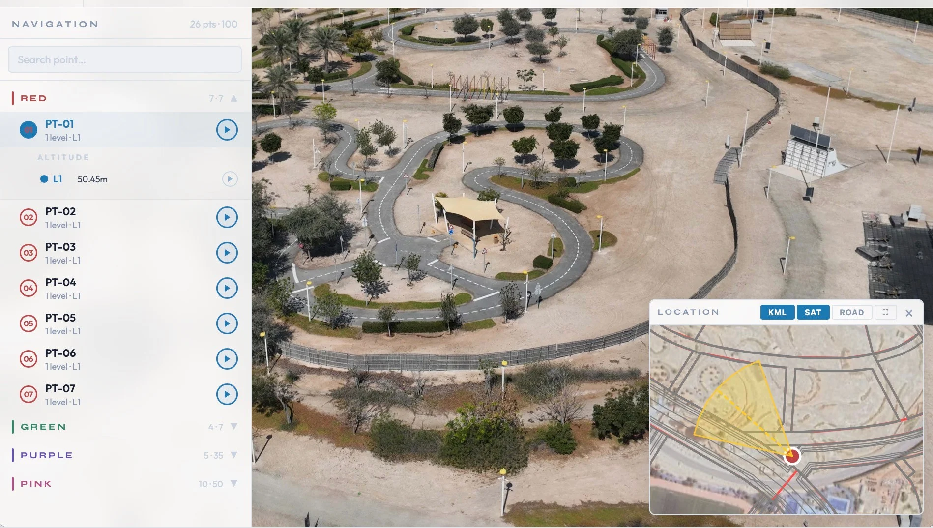
A progress tour is a different thing entirely. It is captured from stored positions on a fixed cycle, so that month three and month twelve are taken from the same points, at the same height, facing the same way. It is judged on whether it is repeatable. The moment somebody stands two metres to the left, the comparison is gone.
Most suppliers only do the first. We do both, and on a live development the second is usually what the project team actually needs.
A typical job is around twenty viewpoints. Each one is shot as a bracketed exposure set rather than a single frame, so interiors hold detail against blown-out windows and an exterior holds both the sky and the shadowed elevation.
The brackets are merged, then stitched, then seam-corrected and levelled — a tour that is a degree or two off level is quietly unpleasant to navigate, and it is the most common fault in cheap panoramic work. Aerial viewpoints are flown to a fixed position and height; ground viewpoints are set out so they can be returned to.
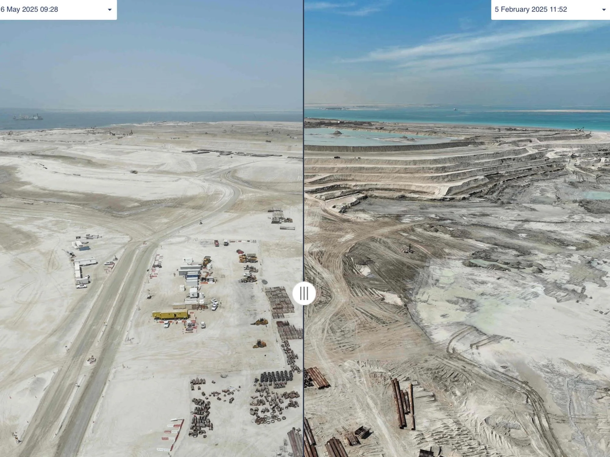
Where a tour is part of a monitoring programme, the capture positions are stored and reflown on the same cadence as the drone survey. That gives a project director a way to walk a junction they have not physically visited since the last report, and a consultant a way to look at what a plot looked like before something was covered up.
It turns a 360 tour from a marketing artefact into part of the record — the same shift that time-lapse makes over occasional site photography. On one five square kilometre development in Dubai, the tour is captured automatically every month alongside the survey.
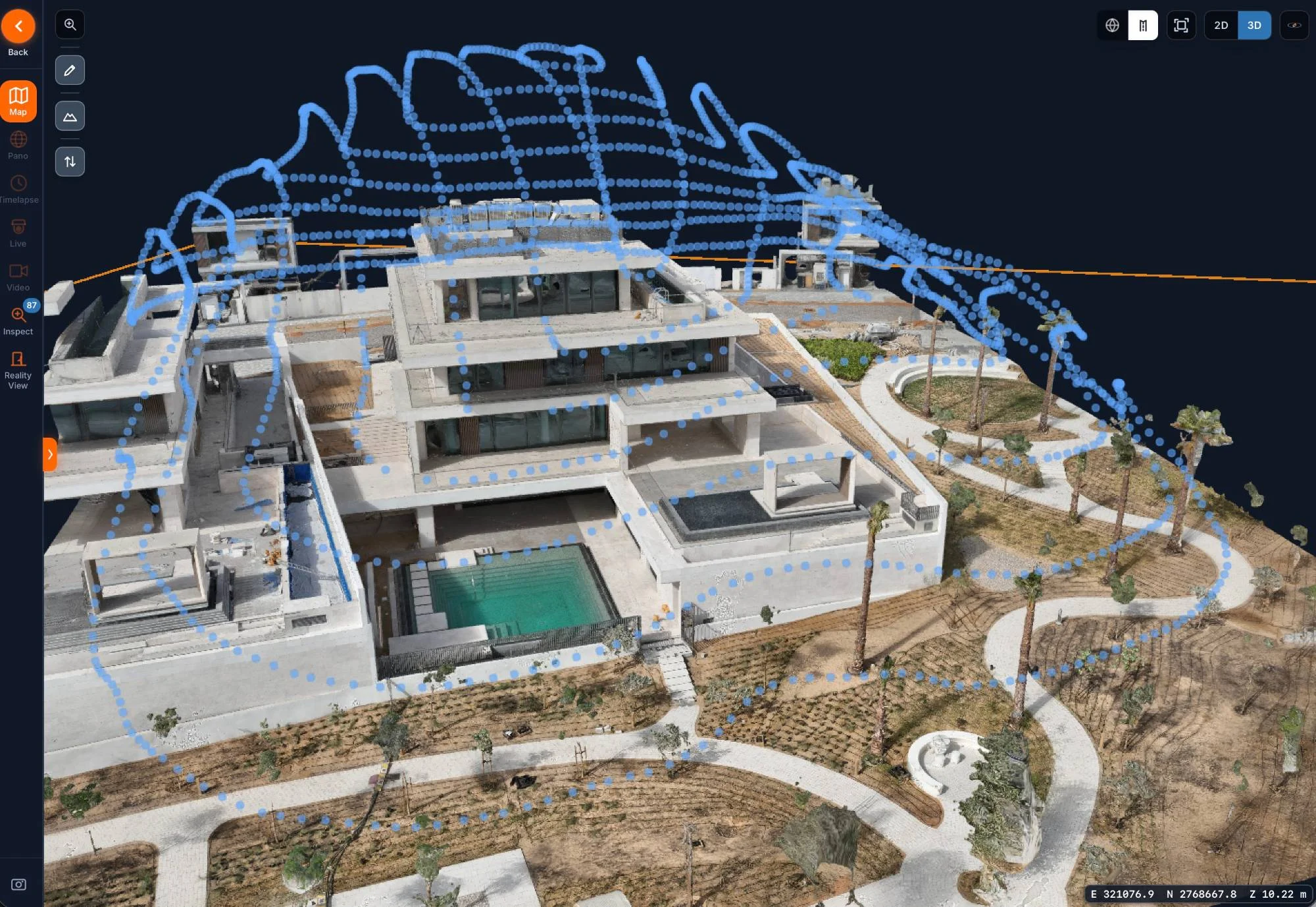
A 3D tour goes further than a set of panoramas. We capture from the drone and on the ground. Outside, the aerial capture is built into a 3D model of the building and its plot that you can orbit, zoom and measure in the AirTech Portal. Inside and around the property, the ground capture becomes a Reality View walkthrough, so someone can move room by room and space by space rather than jumping between fixed points.
We build them with Gaussian splatting, which renders glass, water and fine detail far more faithfully than a traditional mesh. Like a 360 tour, a 3D tour can be a one-off for marketing or repeated on a live site, and it is delivered as a hosted link, as files, or both.
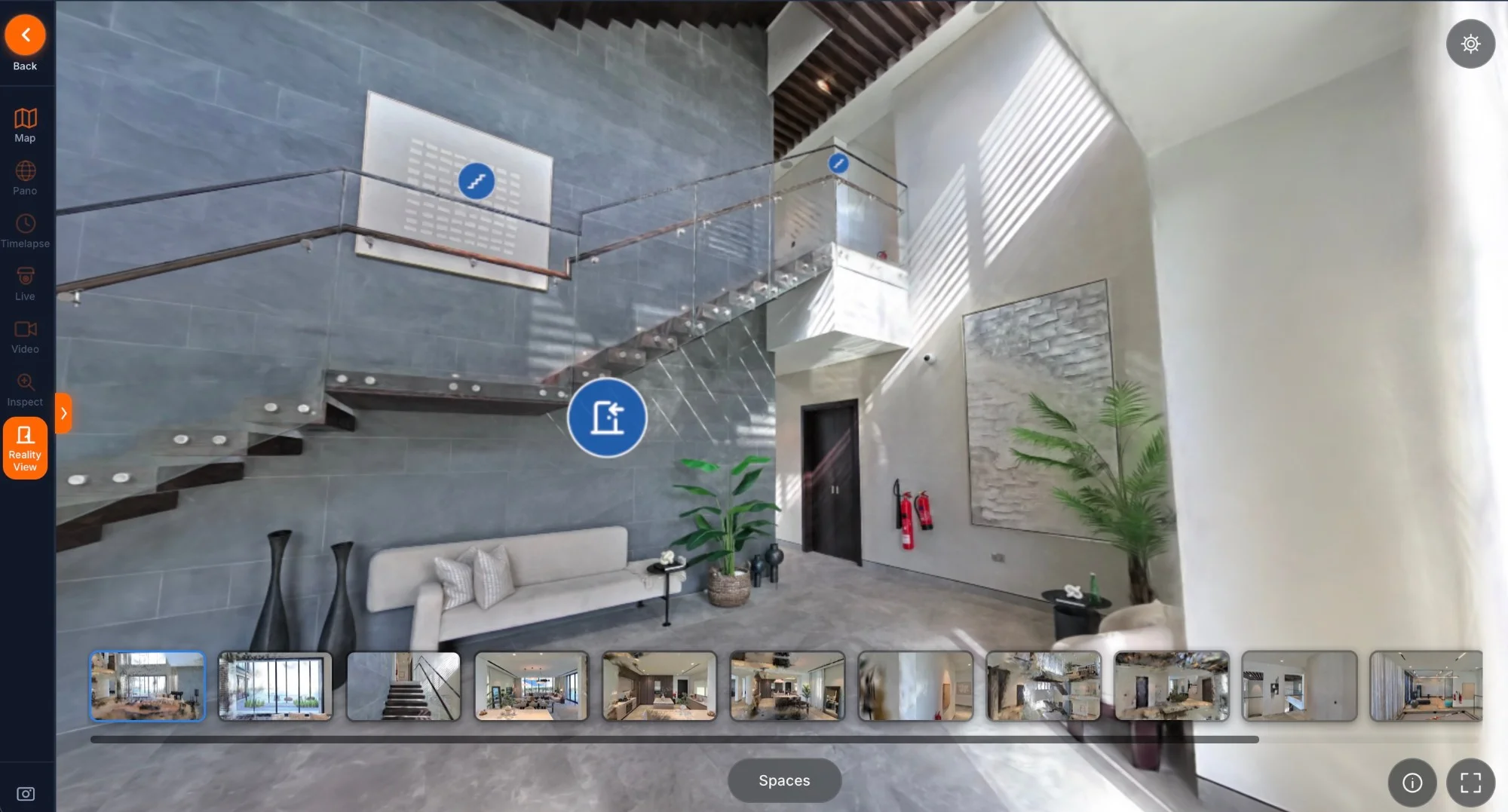
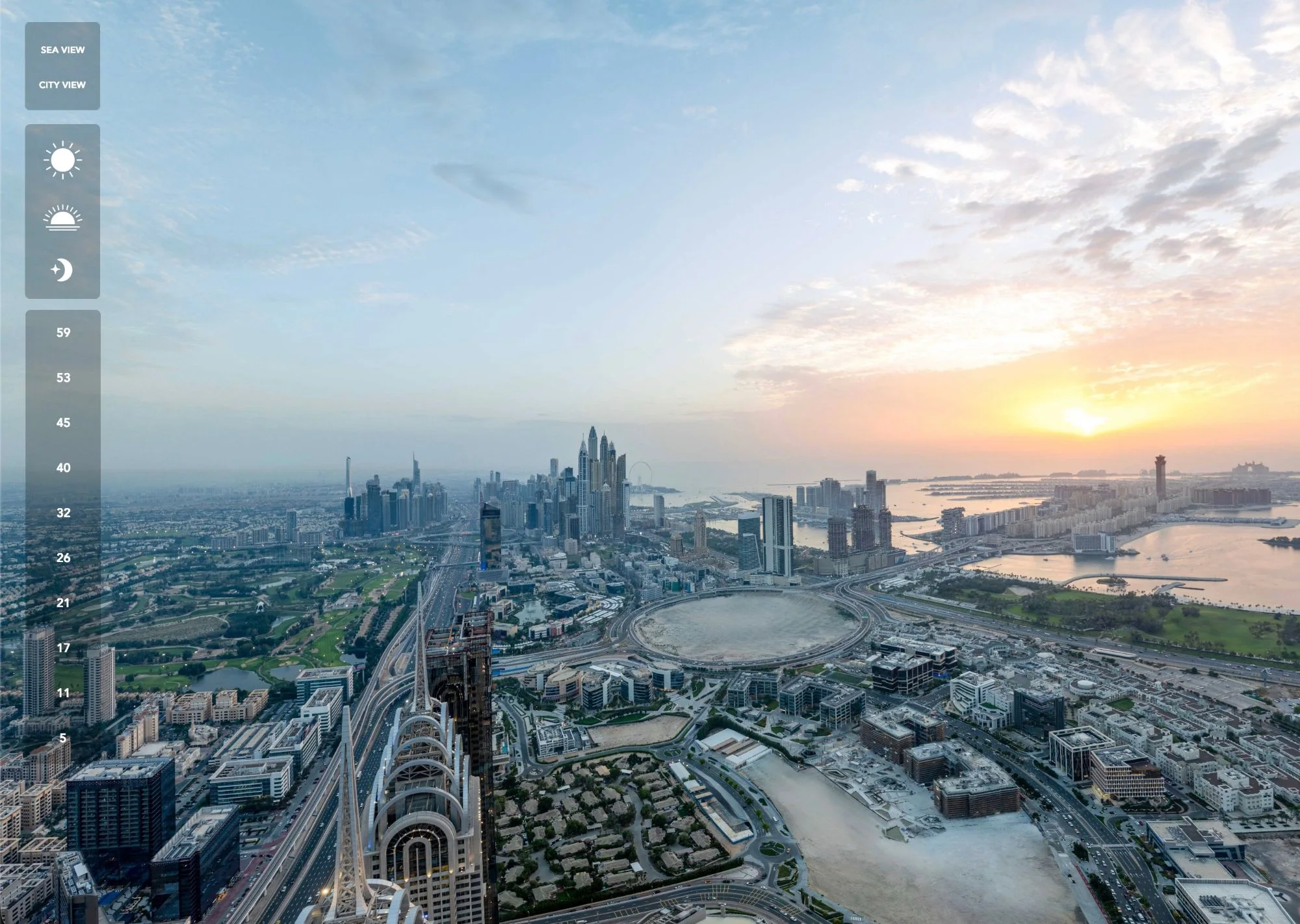
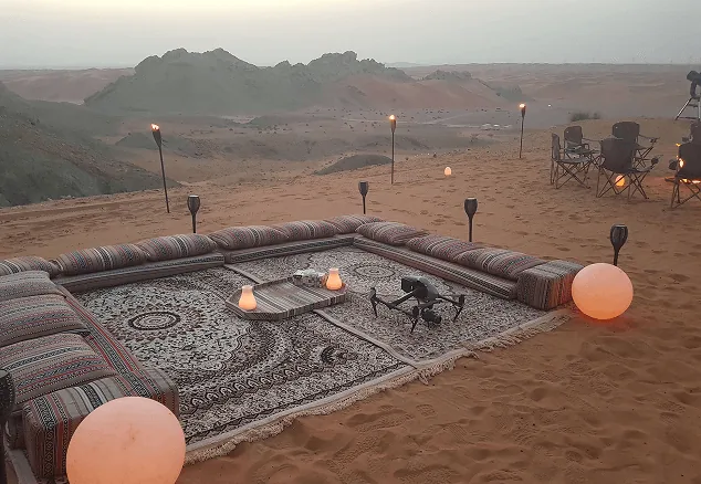
Aerial and ground tours for residential towers, villas and hospitality developments in Dubai and Abu Dhabi, from floor-by-floor view tours for a tower launch to a glamping resort. On island masterplans we also capture panoramic sets across the whole site as part of the monthly reporting.
AirTech is a registered RPAS operator across all seven emirates with DCAA and GCAA certified pilots, and we handle the permits — including approvals for flying over occupied buildings and public areas.
360 video
Survey-grade capture with ground control, delivered in the formats your engineers already use.
A registered RPAS operator flying with DCAA and GCAA approvals, and USD 5,000,000 third-party liability cover on every job.
Every capture lands in the AirTech Portal and stays there for the contract term, with individual logins and an activity log.