
Measured, Not Estimated
Survey-grade capture with ground control, delivered in the formats your engineers already use.
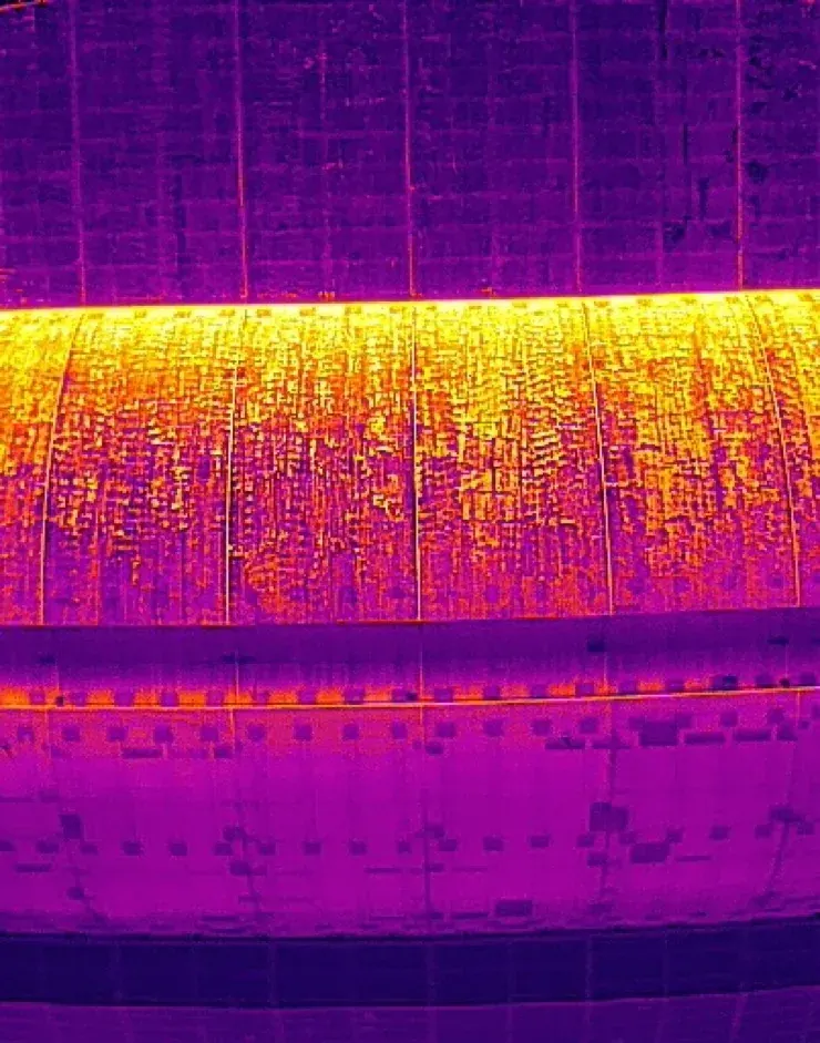
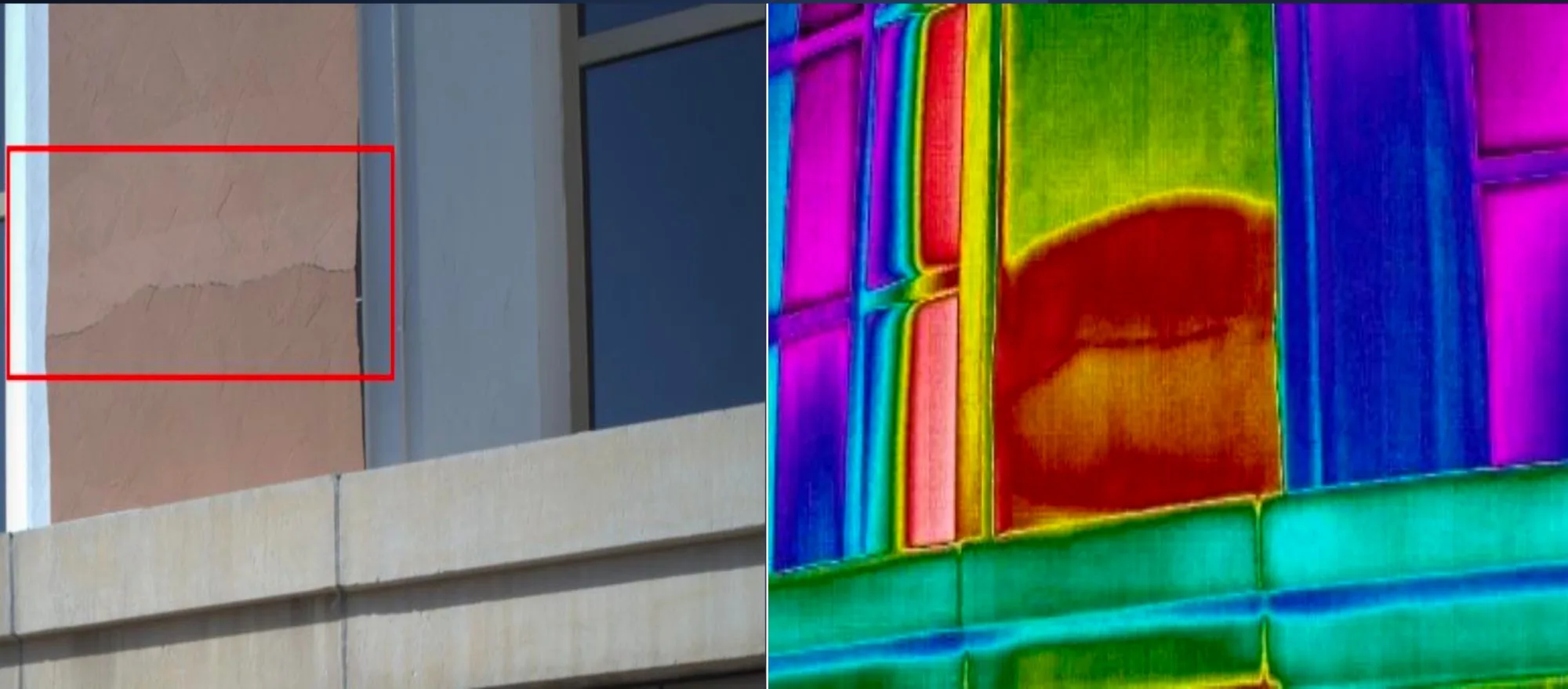
Facade inspection from the air, across the UAE. A drone reaches every elevation of a building without scaffold, rope access or a cradle, and photographs it at a resolution that lets a surveyor assess a crack or a sealant joint from the desk.
The usual alternative is a rope team working down the face over days, or a mast climber that cannot reach the returns. A drone covers a villa in a morning and a tower block in a day, with no one working at height.
We fly an automated capture route parallel to each elevation, holding a fixed standoff so every frame is at consistent scale and overlaps its neighbours. On a recent villa inspection in Abu Dhabi that meant a 10 m route for facade detail, a 20 m oblique pass for context on the building, and an 80 m oblique across the surrounding 36 hectares. That job produced 8,554 frames.
Positions are fixed with RTK or PPK so the imagery is georeferenced and this month’s pass registers against the last. Flights that abort or fall outside tolerance are logged and excluded rather than quietly included — our capture folders carry a rejected set alongside the accepted one.
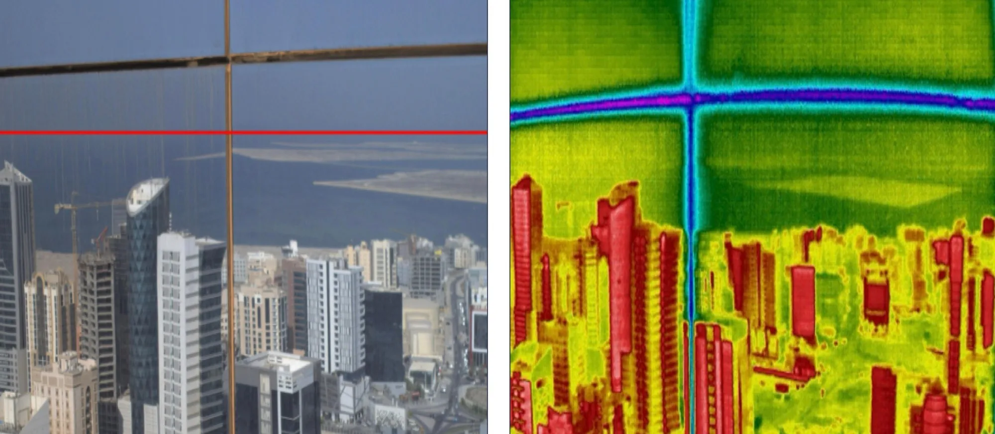
A thermal pass flown alongside the visual capture shows what the camera cannot: moisture tracking behind cladding, a debonded tile, a failing seal around a window, or a thermal bridge. We fly thermal mapping as its own route, typically at 40 m, and deliver it against the same coordinates as the visual set so the two overlay.
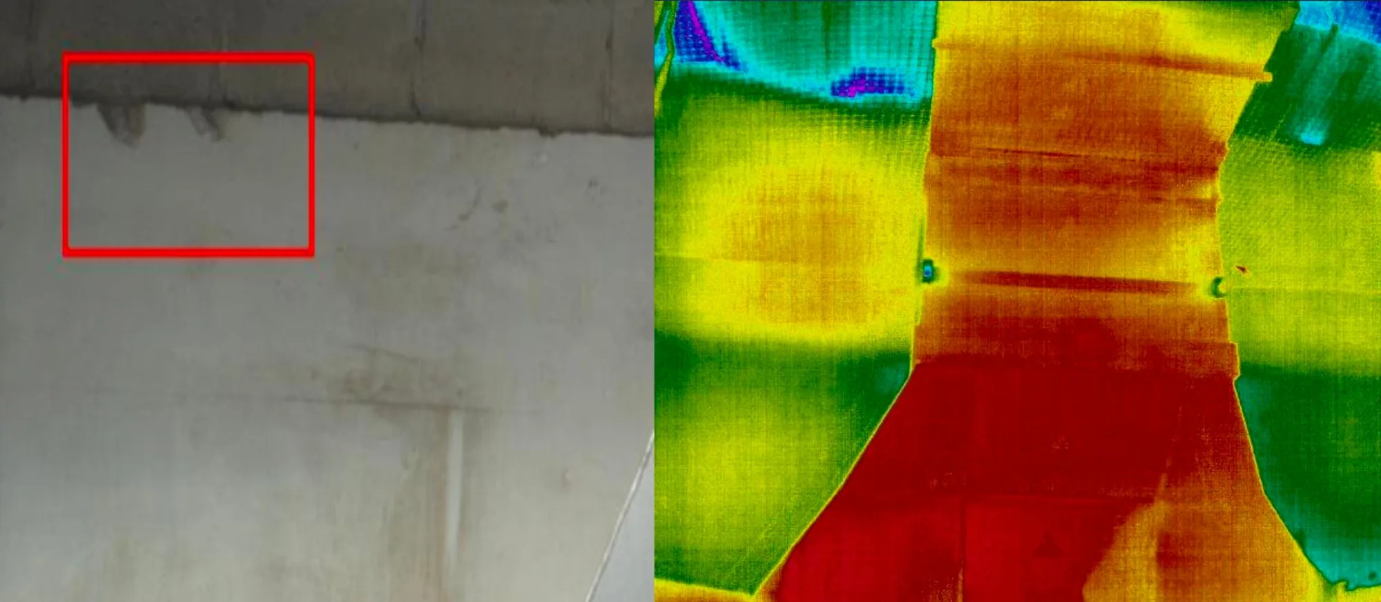
We do not produce a defect register or a snagging report. We produce the evidence your facade engineer or surveyor works from, in a form they can measure and compare.
Facades are one of five asset types across our drone inspection services, and are commonly flown together with roof and envelope inspection on the same mobilisation.
Survey-grade capture with ground control, delivered in the formats your engineers already use.
A registered RPAS operator flying with DCAA and GCAA approvals, and USD 5,000,000 third-party liability cover on every job.
Every capture lands in the AirTech Portal and stays there for the contract term, with individual logins and an activity log.