

Measured, Not Estimated
Survey-grade capture with ground control, delivered in the formats your engineers already use.


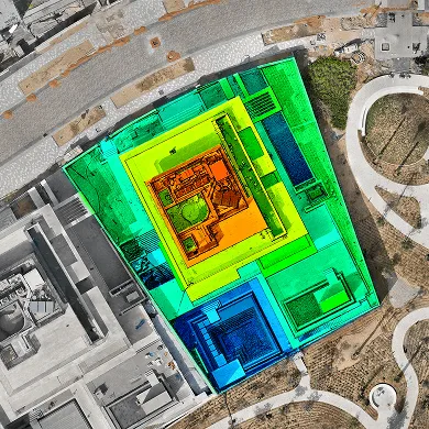
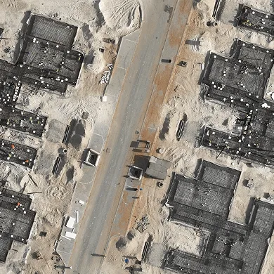
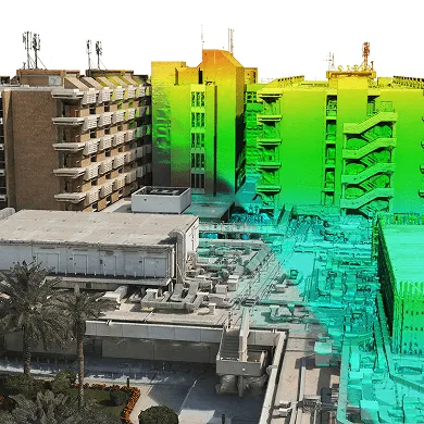
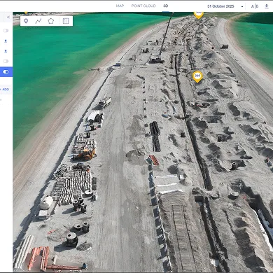
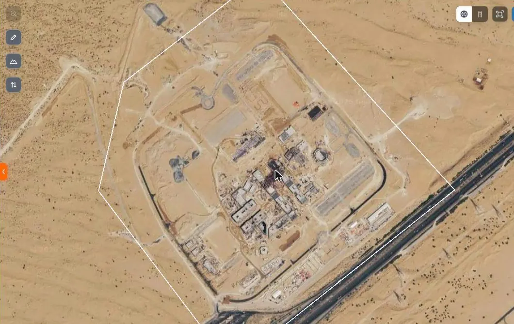
AirTech has flown monthly drone surveys on a single island masterplan since November 2023. Each survey covers roughly 36 square kilometres, and we run concurrent teams so the whole area is captured as one consistent snapshot rather than a set of dates stitched together.
Capture is at 3 cm ground resolution as standard, at a rate of 4.5 square kilometres per drone per day. Marked ground control targets are set out across the site and fixed by GNSS before each flight, then every survey is checked against independent check points before anything is issued. Without ground control a survey is georeferenced by the drone’s own GPS alone, which will not support volumetric measurement, level checking or comparison against design, so we do not fly survey work that way.
Each survey delivers the same four formats, so datasets compare directly across the life of a project:
Data goes to the client’s GIS team and on to the consultant. We hold GCAA Letters of Authorisation and ADAC NOTAMs on standing renewal and apply for MOD security permits per flying day, so permits are our job, not yours.
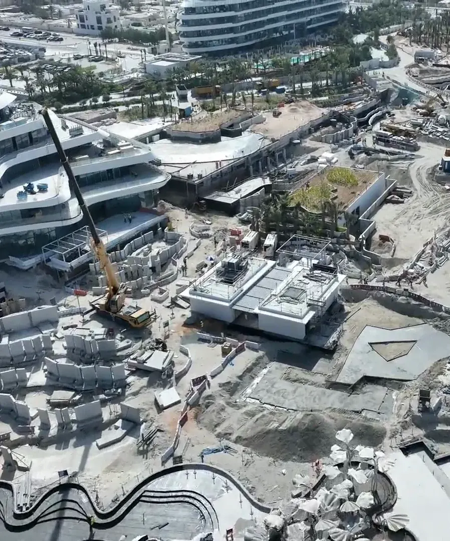
Surveys land in the AirTech Portal alongside the time-lapse cameras and drone flights. Swipe between any two co-registered survey dates to see what moved, run cut and fill between them, and measure point, distance, area, volume and elevation profile directly on the data. Measurements save to the project, so they are there next time.
Two things set the price: the area and the resolution. Together they determine how long an aircraft has to be in the air, and everything else follows from that.
Resolution has more leverage than area. Flying lower gives finer ground resolution and covers far less ground per flight, so moving from 6 cm to 3 cm roughly doubles the flying over the same area. Before specifying a resolution, ask what it is for — 6 cm is ample for earthworks volumes across a masterplan, and unnecessary precision over a large area is the commonest way a survey budget is wasted.
The other lines are ground control, permits at cost, mobilisation once per deployment, and processing. We quote against your site boundary and your required resolution rather than publishing rates, because a number without those two would be a guess.
Answer those six and two quotations that looked far apart usually turn out to be either identical or not comparable at all. Send us your site boundary and we will price against it.
Survey-grade capture with ground control, delivered in the formats your engineers already use.
A registered RPAS operator flying with DCAA and GCAA approvals, and USD 5,000,000 third-party liability cover on every job.
Every capture lands in the AirTech Portal and stays there for the contract term, with individual logins and an activity log.