


Measured, Not Estimated
Survey-grade capture with ground control, delivered in the formats your engineers already use.

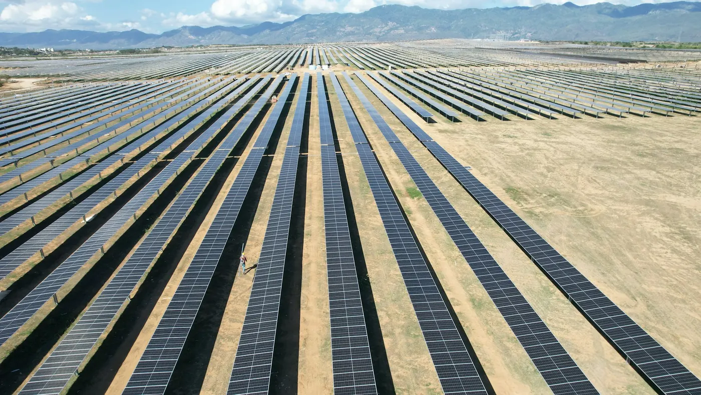
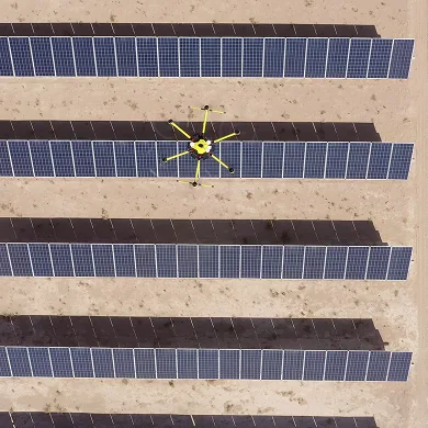
Thermal and visual drone inspection for solar, across the UAE. A utility-scale plant runs to hundreds of thousands of modules, and a handheld IR camera walked down the rows will not get through them in any useful time. A drone flies the array on a fixed grid and brings back a measurable temperature reading for every panel.
The point is not to find the panels that have obviously failed. Those show up in the yield data. The point is to find the strings that are quietly underperforming, the junction boxes running hot, and the soiling patterns that follow the prevailing wind — the losses that never trip an alarm but sit on the generation figures all year.
We fly an automated grid at a fixed altitude so every module is captured at the same ground resolution and every frame overlaps its neighbours. The thermal camera is radiometric, so each pixel carries an actual temperature rather than a false-colour impression — a cell running 20 °C above its neighbours is a measurement, not a judgement about a shade of orange.
Visual imagery is captured on the same flight and to the same coordinates, so a hotspot in the thermal set can be matched against what the panel physically looks like. Cracked glass, a lifted backsheet and a bird strike all read differently.
Conditions matter more here than on most inspections. We fly in high irradiance, with the array under load, and avoid the hours where low sun angle puts reflections across the modules. A thermal survey flown at the wrong time of day produces data nobody can rely on.
Flights run from stored waypoints, so the next inspection repeats the same positions and altitudes. That makes two campaigns directly comparable: the same module, the same angle, six months apart. A hotspot that has grown is a different conversation from one that has not moved.
Capture is ours. For solar we work with a certified thermographer who reviews the radiometric data and issues the assessment, so what you receive is an engineering opinion rather than a folder of images. Where you already have your own PV engineer, we deliver the data in the formats they work in and stop there.
We do not run automated defect classification, and we do not tag faults by algorithm. Every anomaly in a report has been looked at by a person.
AirTech is a registered RPAS operator across all seven emirates with DCAA and GCAA certified pilots, and we handle the permits — including the approvals a fenced energy site normally requires before anything flies.
Solar is one of five asset types we cover — see all drone inspection services. Rooftop arrays are often flown together with roof inspection on the same visit.
Survey-grade capture with ground control, delivered in the formats your engineers already use.
A registered RPAS operator flying with DCAA and GCAA approvals, and USD 5,000,000 third-party liability cover on every job.
Every capture lands in the AirTech Portal and stays there for the contract term, with individual logins and an activity log.