

Measured, Not Estimated
Survey-grade capture with ground control, delivered in the formats your engineers already use.

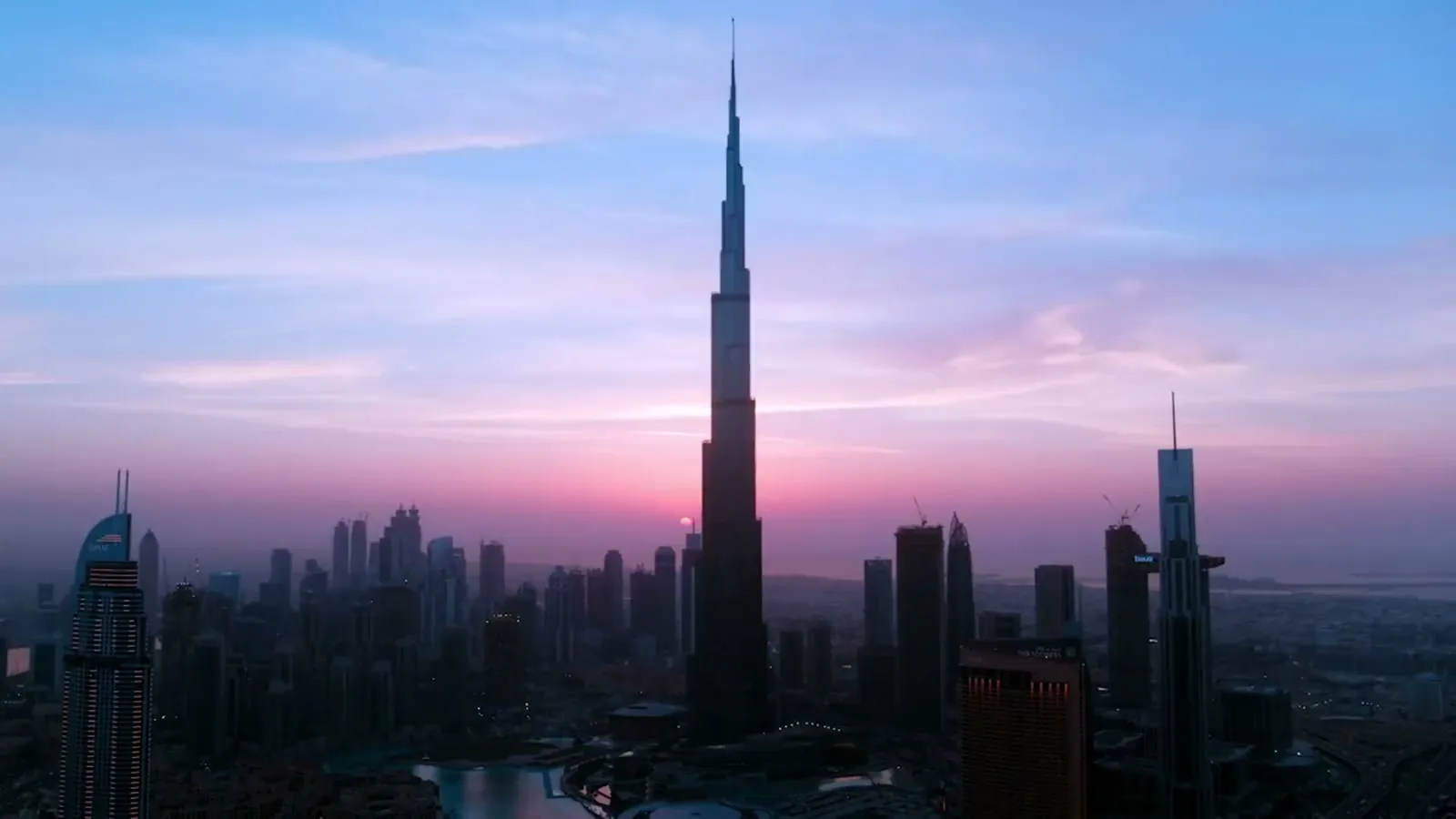
Aerial film and stills for launches, board packs, broadcast and construction records. Our media division has its own creative director and editors, and whether it is a full production, an event, or a film cut from a record we have been building for years, we shoot for the edit. We also produce 360 tours and 3D tours of sites and properties; see 360 and 3D tours. Or watch our showreel.
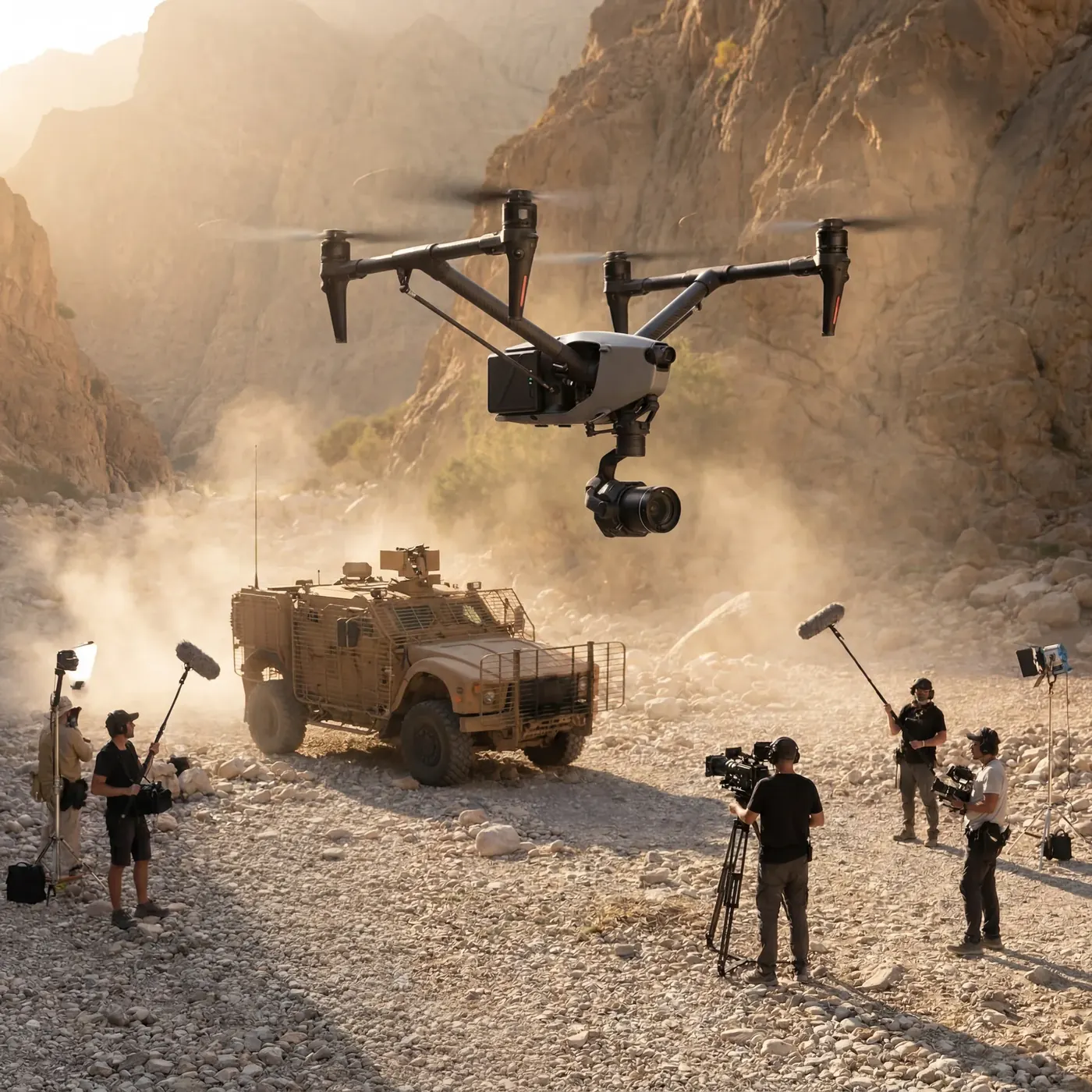
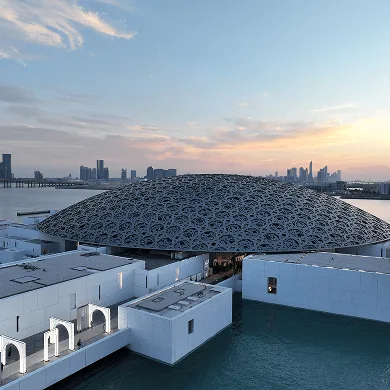
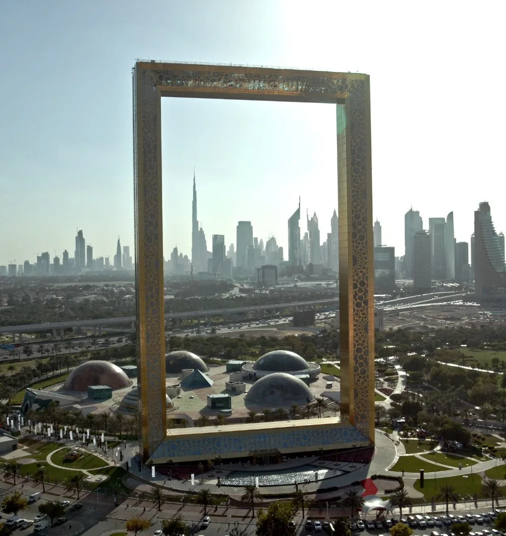
Most aerial film is shot by a crew who arrive on a Tuesday, fly for a day, and leave. That works for a launch or a commercial. It does not work when the shot you needed was of something that was buried six months ago.
AirTech films the sites it already monitors. The cameras and the survey aircraft are there every month anyway, which changes what a film can be made of: instead of a day’s material, there is a record going back years, and the edit can be cut from it.
Video at up to 6K, sixty frames a second, recorded 10-bit in D-Log with sixteen stops of dynamic range. That is enough latitude to hold a bright UAE sky and a shadowed elevation in one frame and still grade it. Where the edit needs it we record all-intra rather than long-GOP, so the footage cuts cleanly.
Stills come off a 100 megapixel Hasselblad sensor on the aircraft. Where a brief needs more than a drone can give, such as interiors, close detail or large-format print, we shoot from the ground on Canon, Nikon, Sony and PhaseOne bodies.
The pilots have flown for TV commercials, feature films and live event coverage. That matters less for the equipment than for the framing: someone who has shot to an edit knows to give the editor the handles, the alternate angle and the clean pass, rather than one beautiful take that cannot be cut.
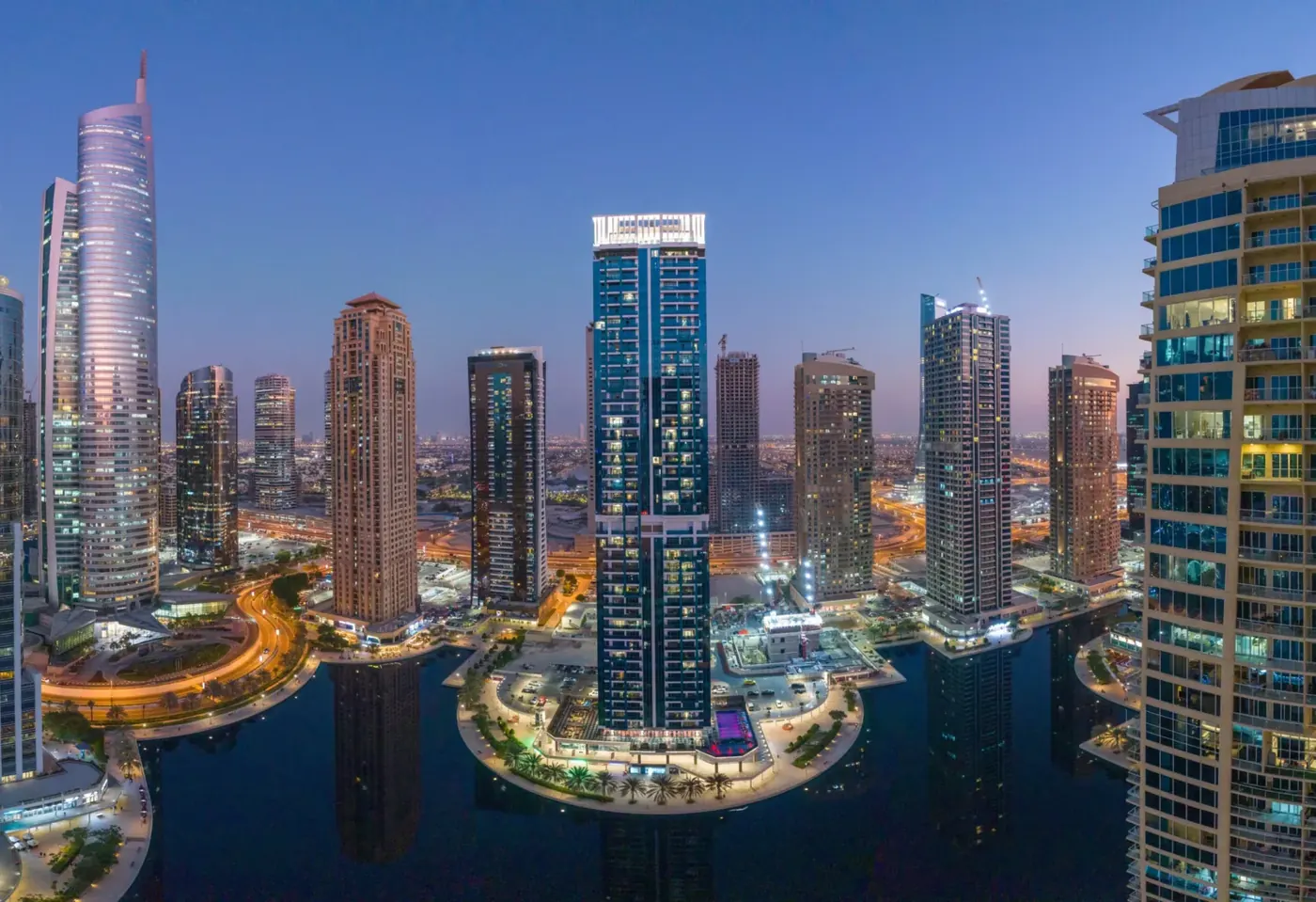
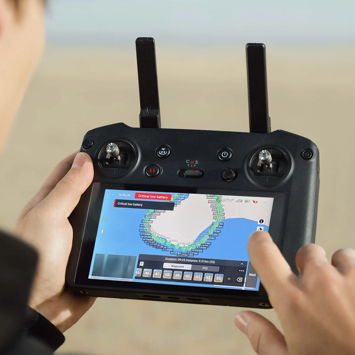
Movement is planned as flight paths, whether orbits, reveals, push-ins or rises, and set out before the aircraft leaves the ground. Where a sequence needs to be repeatable, it is flown from stored waypoints, which means the same move can be reflown months later and the two shots will actually cut together.
That is also how we produce drone hyperlapse: the same waypoint route flown repeatedly, compressing months of construction into a few seconds of movement through a site that is visibly changing around a camera path that is not.
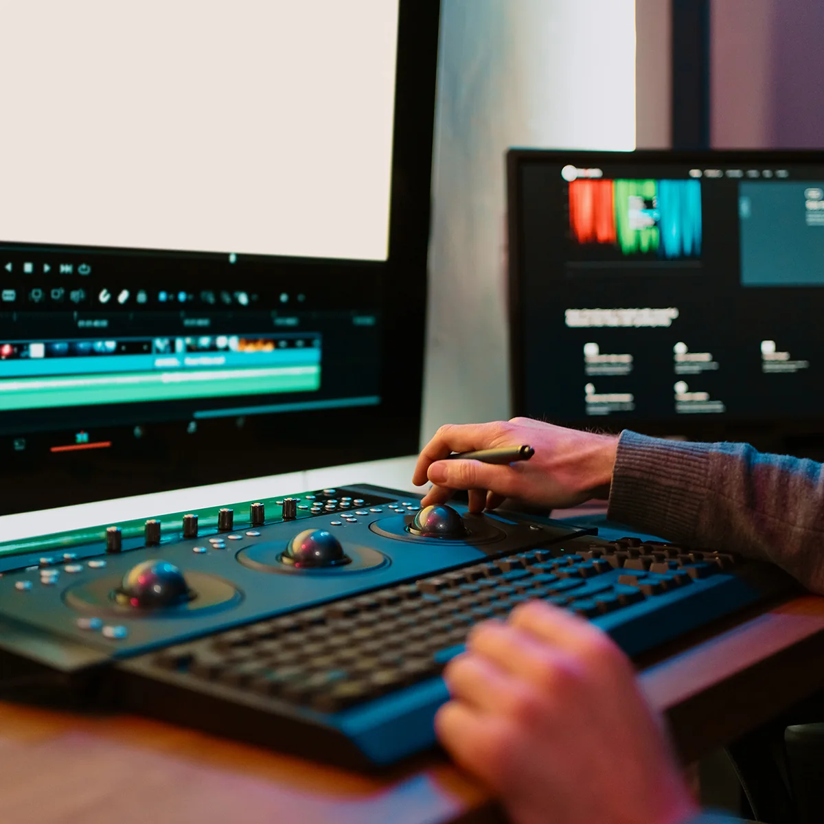
Our media division has its own creative director and editors. Motion graphics, grade, sound and the cut are done in house rather than passed to a subcontractor, which keeps the people who shot the material in the room when it is assembled. It also keeps the turnaround measured in days.
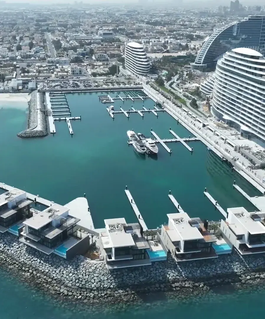
A film crew mobilising to a construction site needs permits, an induction, an escort and a slot that does not clash with a lift. We already have all of that, because we are on site for the time-lapse and the survey. The film comes out of a visit that was happening regardless, which is why it costs less to add than to commission.
AirTech is a registered RPAS operator across all seven emirates with DCAA and GCAA certified pilots and USD 5 million public liability. We handle the permits, including filming approvals over public areas and occupied buildings, and the NOC work a restricted site requires.
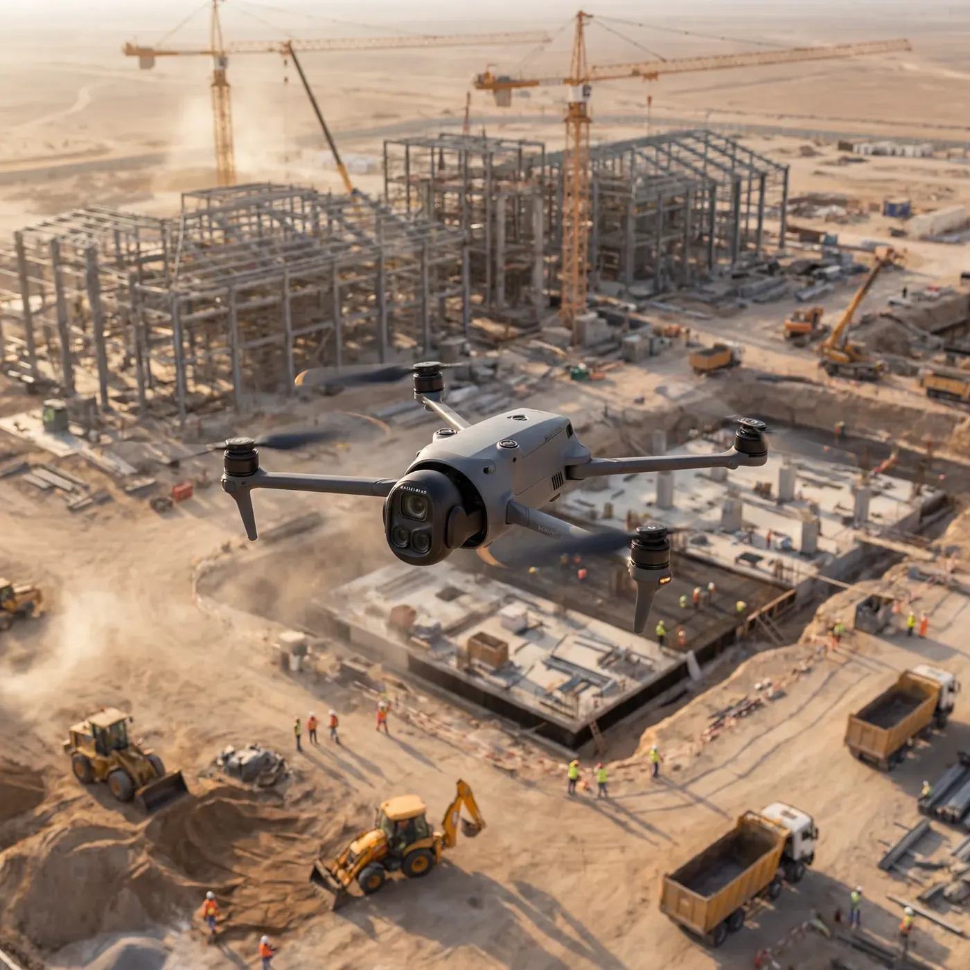
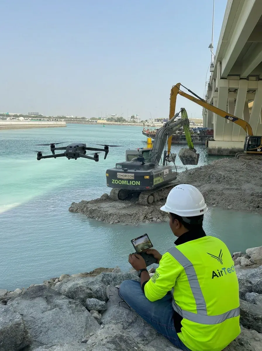
Survey-grade capture with ground control, delivered in the formats your engineers already use.
A registered RPAS operator flying with DCAA and GCAA approvals, and USD 5,000,000 third-party liability cover on every job.
Every capture lands in the AirTech Portal and stays there for the contract term, with individual logins and an activity log.