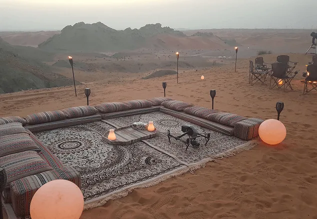




Measured, Not Estimated
Survey-grade capture with ground control, delivered in the formats your engineers already use.

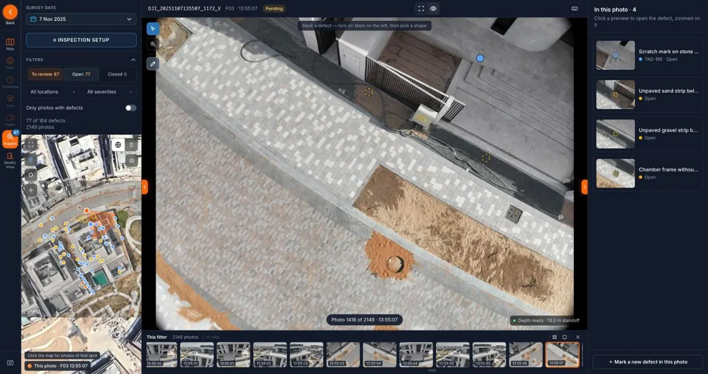
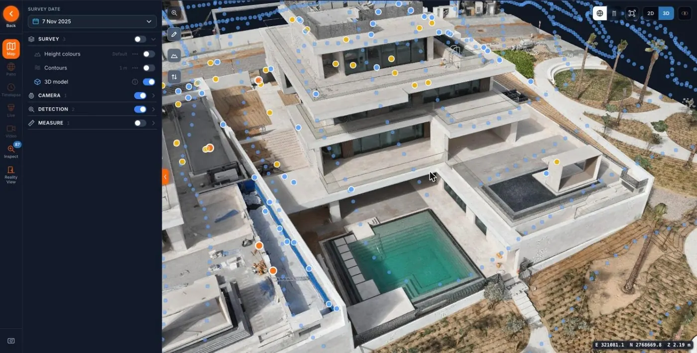
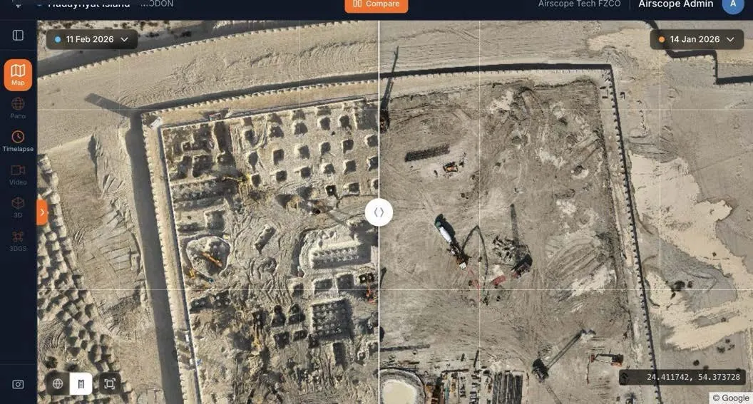
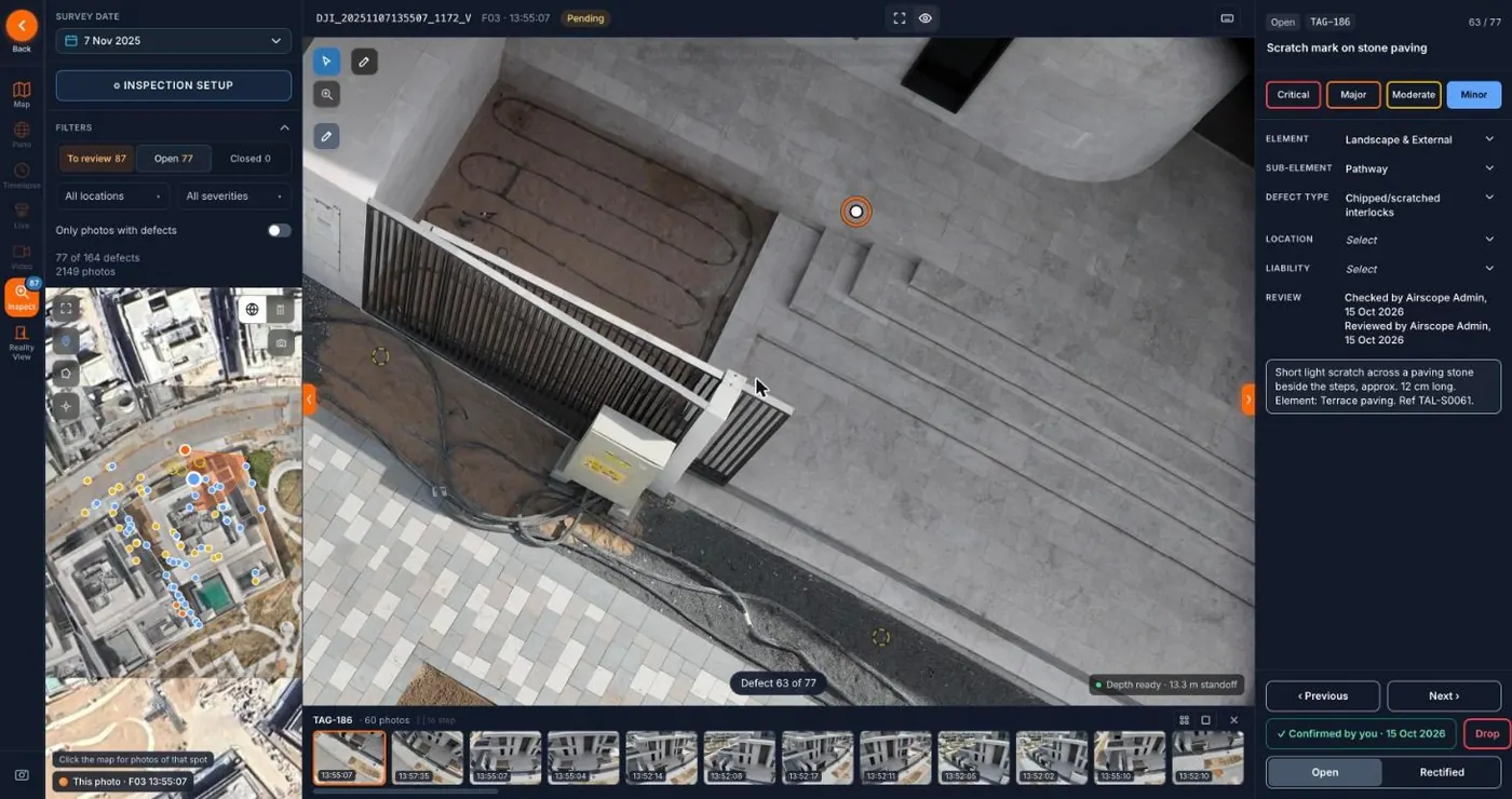
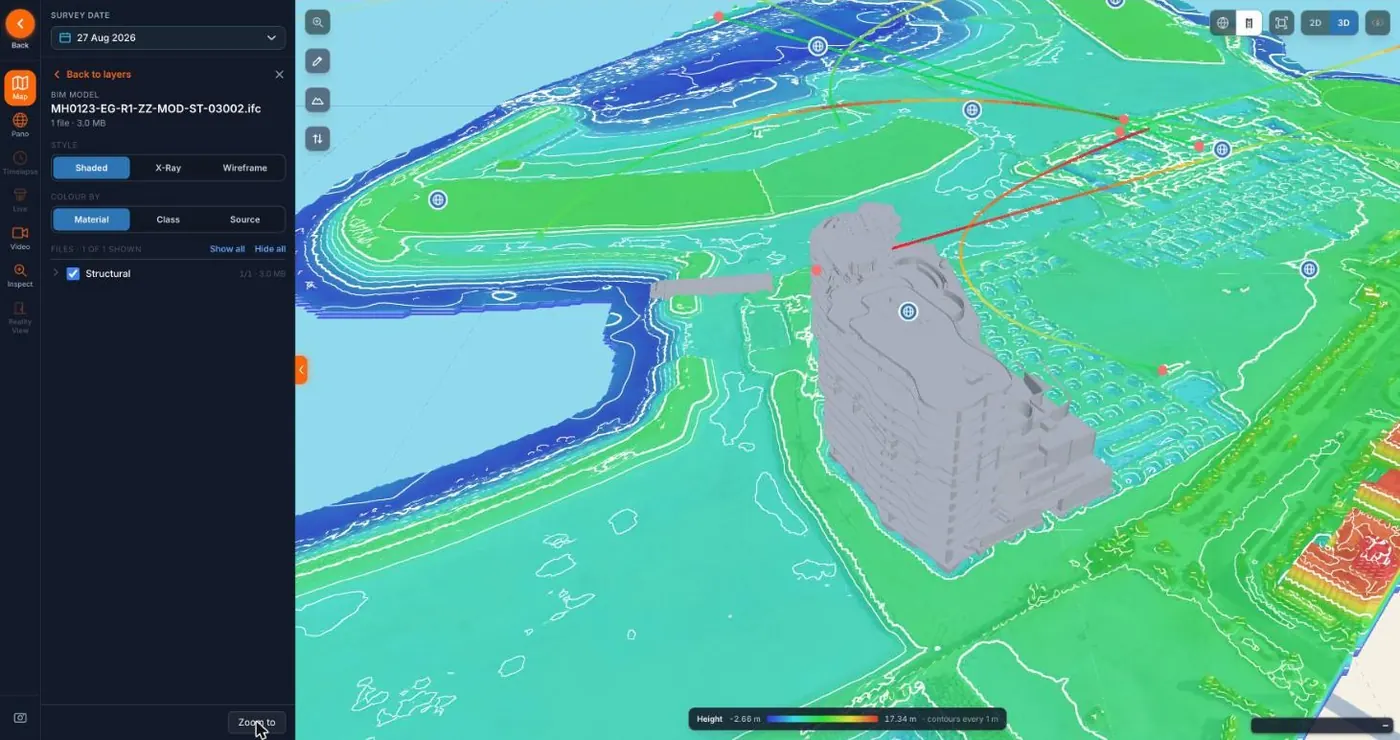
A site inspection is usually one person, one walk, one set of photographs that nobody compares with the last set. Site Inspection replaces the walk with a repeatable capture — a drone flight on a fixed plan and 360 cameras at fixed ground positions — and replaces the comparison with software.
Every visit is registered to the one before it. The model looks for what changed: structure that went up, elements that went missing, surfaces that cracked or stained, areas that were blocked off or filled with material. Where the capture is a survey-grade flight, the comparison is measured — areas, volumes and levels — rather than judged by eye.
The flagged items go to an AirTech inspector, not straight into your report. The inspector confirms or dismisses each one against the imagery, adds what the model cannot know, and signs the report off. What you receive is a short list of things worth a conversation, each with the frame that raised it and its position on site.
Because the capture is the same every time, the system improves with use. The first visit establishes a baseline; by the third, the noise has been learned and the report is mostly signal. Sites already running AirTech time-lapse cameras get the fixed-camera frames folded into the same comparison at no extra mobilisation.
Everything lands in the AirTech Portal alongside the time-lapse archive and the survey data, so the record of a project stays in one place and a question about last month can be answered from the desk.
We agree the capture plan with the project team before the first visit: flight lines, ground positions, interval and what the reports should answer. The same plan is flown every visit so the comparison is like for like. Flagged items are reviewed by an AirTech inspector before anything reaches the report, and the report is delivered in the Portal within the agreed turnaround, with every finding linked to the frame that raised it.
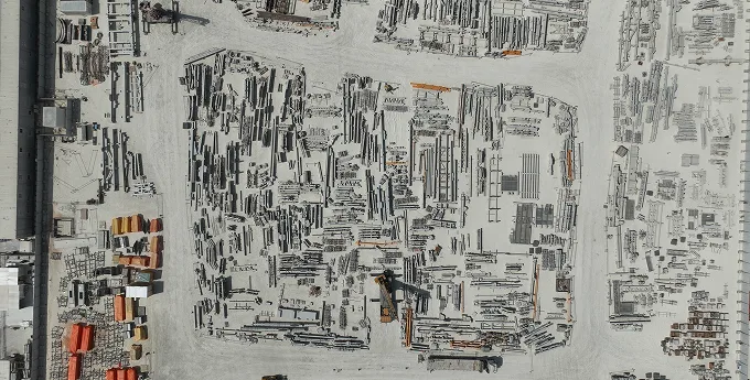
Repeatable Capture:
The same flight plan and the same ground positions every visit, so the software compares like with like.
A Person Signs Off:
The model flags; an inspector confirms. Nothing reaches your report that has not been looked at.
Lives in the Portal:
Findings sit on the site record next to the time-lapse and survey data, with the frame that raised them.
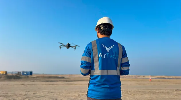
AirTech is a registered RPAS operator across all seven emirates, flying with DCAA and GCAA certified pilots and USD 5 million public liability. We handle the permit work, including the approvals a restricted, fenced or occupied site needs before anything flies.
Tell us about the site and what the programme needs to answer, and we will tell you what can be captured, how often, and what each report will cover.
Survey-grade capture with ground control, delivered in the formats your engineers already use.
A registered RPAS operator flying with DCAA and GCAA approvals, and USD 5,000,000 third-party liability cover on every job.
Every capture lands in the AirTech Portal and stays there for the contract term, with individual logins and an activity log.