

Measured, Not Estimated
Survey-grade capture with ground control, delivered in the formats your engineers already use.

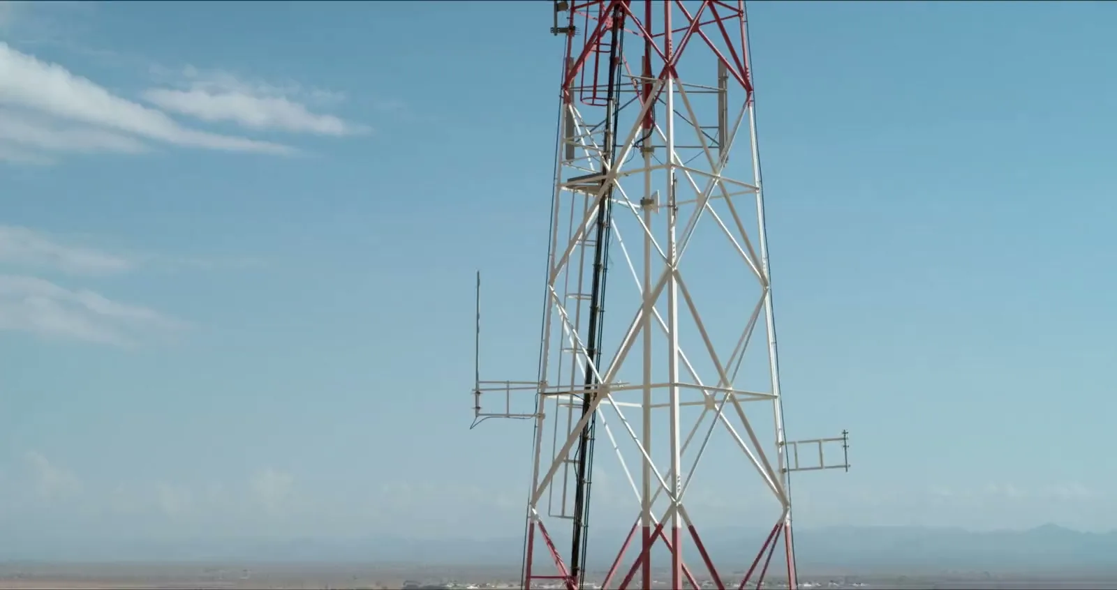
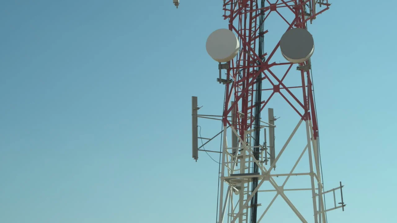
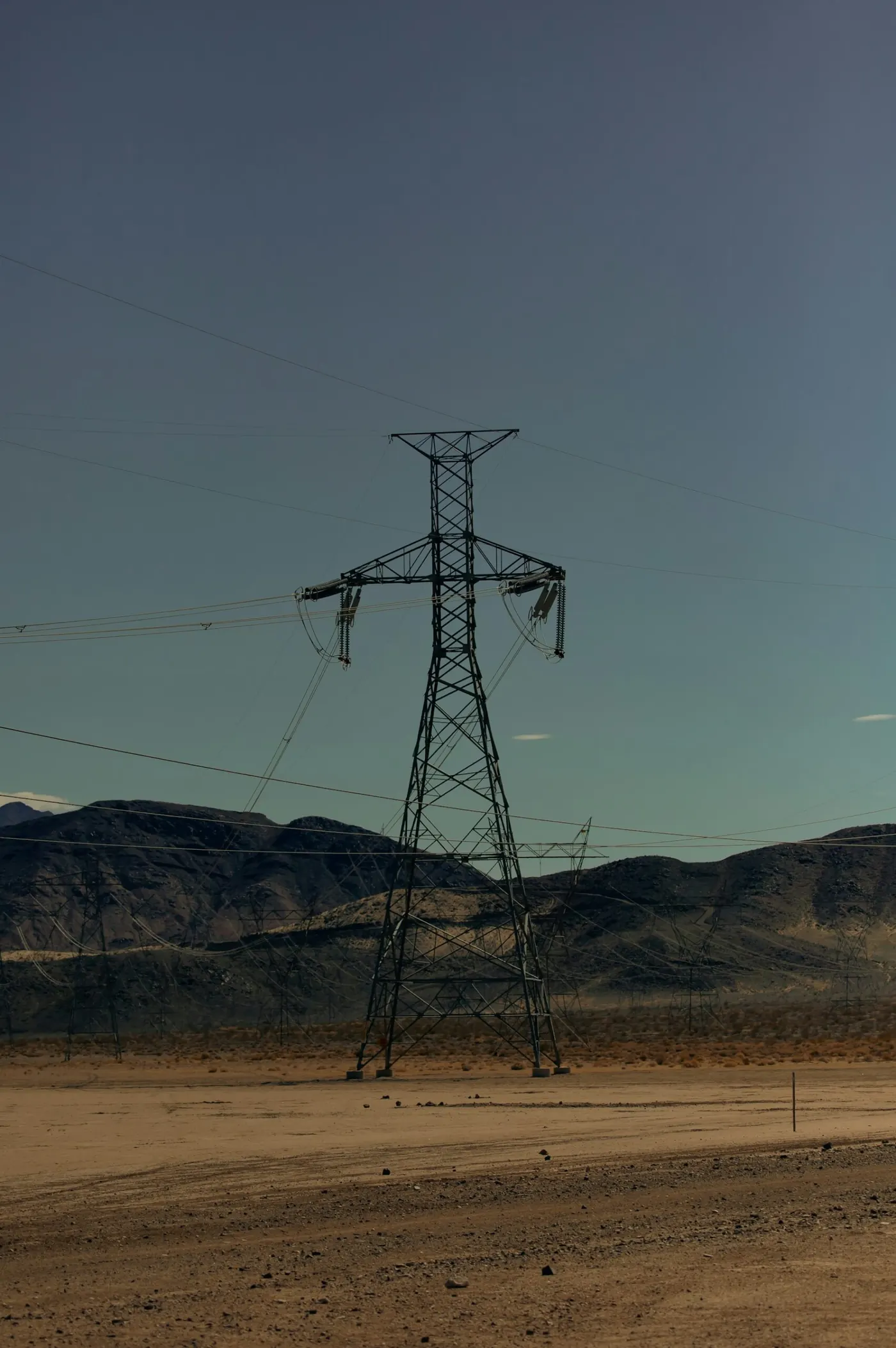
Drone inspection of power lines and telecom towers across the UAE. On a line, the towers, conductors, insulators, dampers and fittings are photographed close enough to see a cracked shed or a corroded fitting, without a climbing team and without taking the line out of service. On a mast, every antenna, radio unit and dish is recorded without sending a rigger up.
The conventional options are a climber working up each structure, a helicopter pass, or binoculars from the ground. The first is slow and puts someone at height on a live asset. The second is expensive and gets you one angle. The third finds nothing that is not obvious.
Two passes, doing different jobs. A corridor run along the route records the span as a whole — conductor sag, vegetation encroachment, access track condition, anything foreign on the line. Then a structure orbit at each tower captures the fittings from several angles at close standoff, so the crossarm, the insulator string and the dampers are each covered properly rather than caught incidentally.
Positions are recorded with RTK or PPK, so every frame is tied to a coordinate and to a specific structure. Imagery arrives indexed by tower number rather than as an undifferentiated folder, which is the difference between a dataset an engineer can use and one they have to sort first.
Thermal can be flown on the same visit where the brief calls for it. A joint or a clamp running hot under load reads clearly against the surrounding conductor, and the thermal set is delivered against the same coordinates as the visual one.
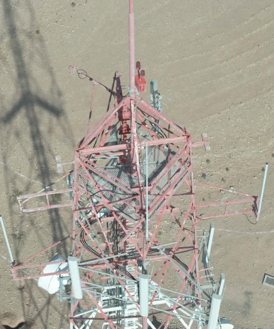
We work for tower companies and the contractors who build and maintain their sites. A mast is flown in orbits at several heights, so every antenna, radio unit, dish, cable run and mounting is captured from more than one side.
From that capture we deliver an antenna audit, with each antenna, RRU and dish photographed and its make and model recorded where the label is legible; azimuth, mechanical tilt and mounting height measured from the imagery; a 3D model of the mast for structural and loading checks; and line-of-sight checks for microwave links between sites. Corrosion, bolts, welds and the condition of the steelwork are photographed for your engineer to assess.
Routes and orbits are flown from stored waypoints. The next campaign repeats the same positions, which means this year’s image of a given insulator string sits directly against last year’s. Change is far easier to see than condition, and most asset decisions are really change decisions.
On power line and tower work we deliver the capture, and your engineer makes the assessment. We are not offering a condition rating or a defect register, and we would be wary of anyone who offered you one off imagery alone — the judgement on a transmission line or a mast belongs with the engineer responsible for it.
What we are responsible for is that the evidence is complete, consistent and located: every structure covered, every frame positioned, nothing quietly missing. Flights that abort or fall outside tolerance are logged and excluded rather than left in the set.
AirTech is a registered RPAS operator across all seven emirates with DCAA and GCAA certified pilots, USD 5 million public liability, and we handle the permit work — which on a transmission corridor generally means coordination well beyond the standard flight approval.
Power lines and telecom towers are among the asset types we cover — see all drone inspection services.
On film
Survey-grade capture with ground control, delivered in the formats your engineers already use.
A registered RPAS operator flying with DCAA and GCAA approvals, and USD 5,000,000 third-party liability cover on every job.
Every capture lands in the AirTech Portal and stays there for the contract term, with individual logins and an activity log.