

Measured, Not Estimated
Survey-grade capture with ground control, delivered in the formats your engineers already use.

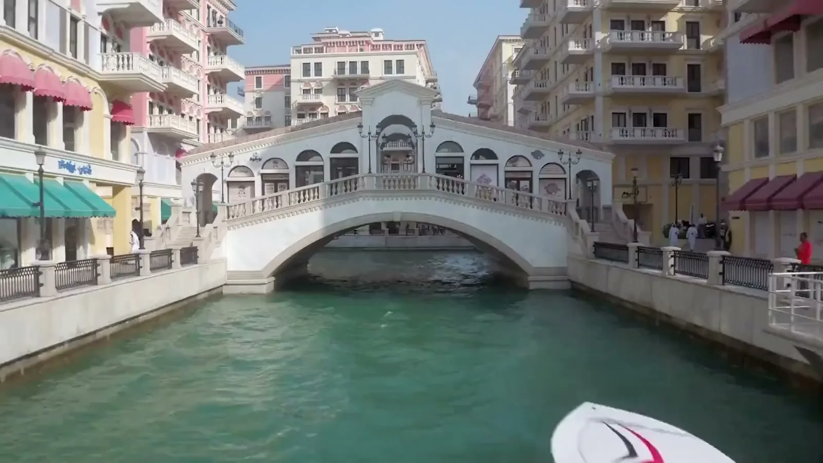
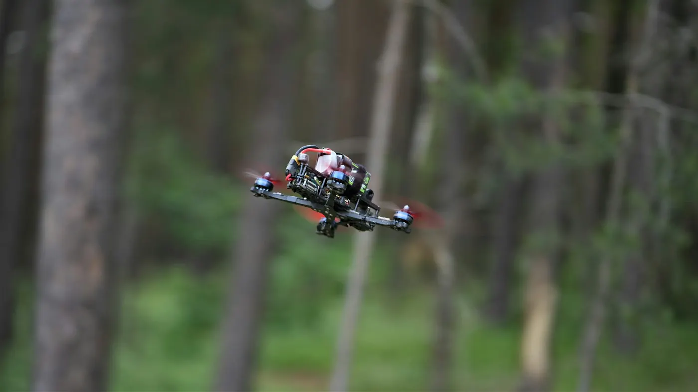
An FPV (first-person view) drone is flown by a pilot wearing goggles, so it moves like a camera on a cable: through doorways, along corridors, under canopies and past a facade at speed, in one continuous take. It is the shot that makes people watch a building film or a launch video to the end.
Our FPV pilots work with the same creative director and editors as the rest of our media division, so the fly-through is planned as part of the finished film rather than handed over as raw footage.
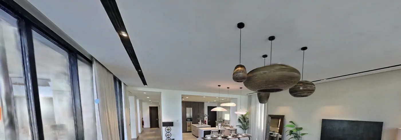

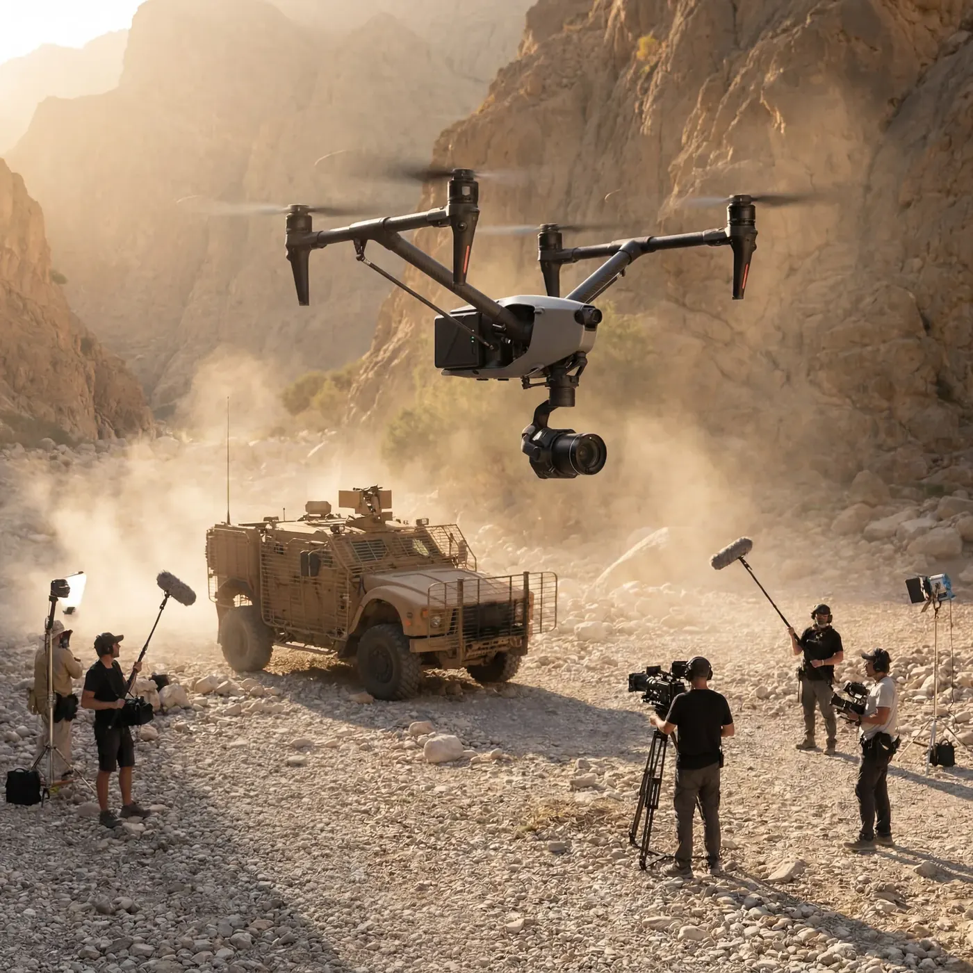
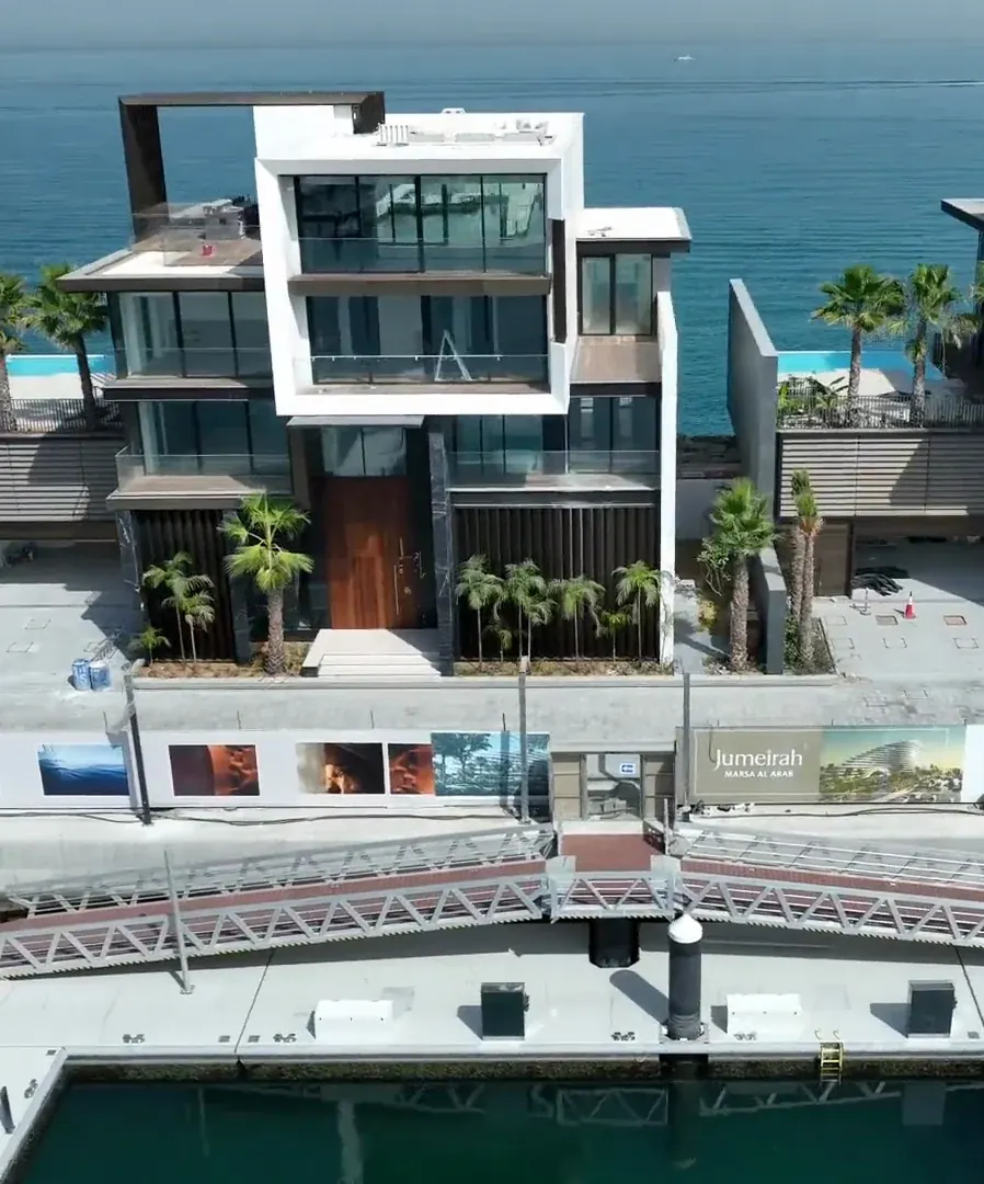
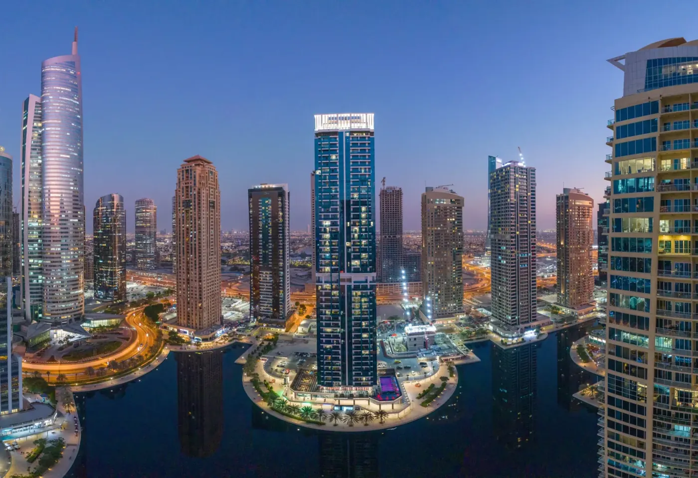
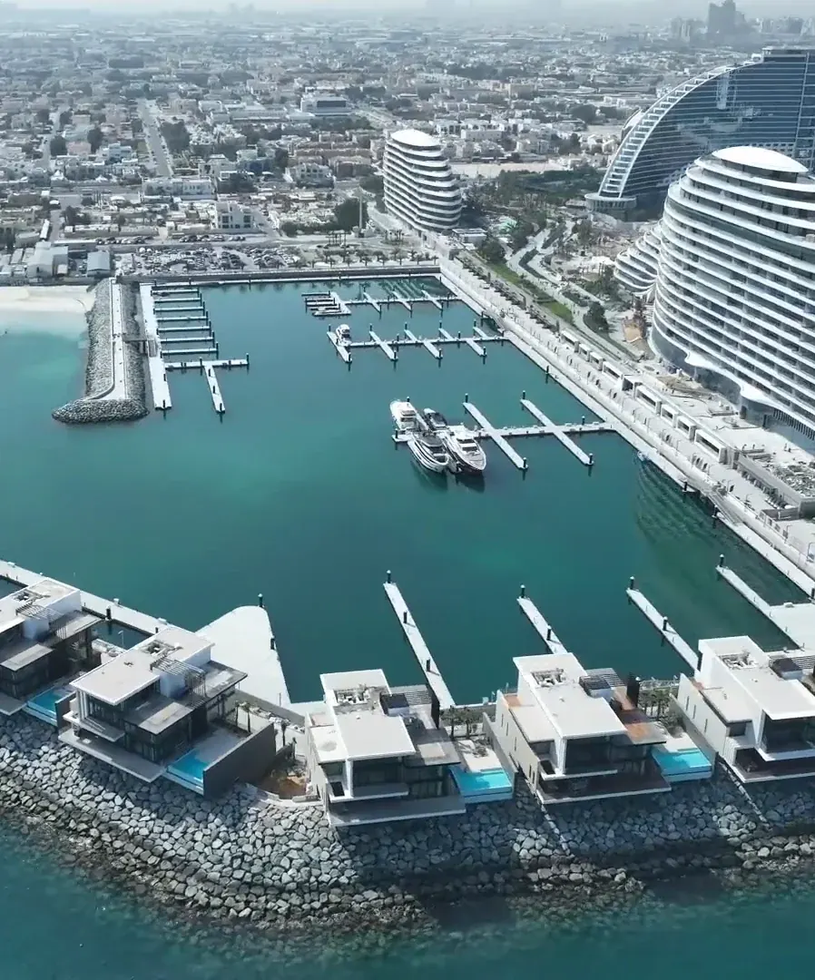
FPV flights close to people and structures are planned shot by shot before the day: the route, the safety brief and the permits, alongside the site’s own HSE rules.
On sites where our cameras and survey drones already work, the approvals are in place, so the shoot slots into a visit we were already making.
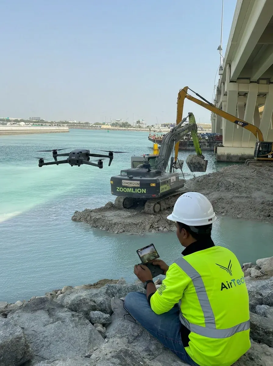
Survey-grade capture with ground control, delivered in the formats your engineers already use.
A registered RPAS operator flying with DCAA and GCAA approvals, and USD 5,000,000 third-party liability cover on every job.
Every capture lands in the AirTech Portal and stays there for the contract term, with individual logins and an activity log.