



Measured, Not Estimated
Survey-grade capture with ground control, delivered in the formats your engineers already use.

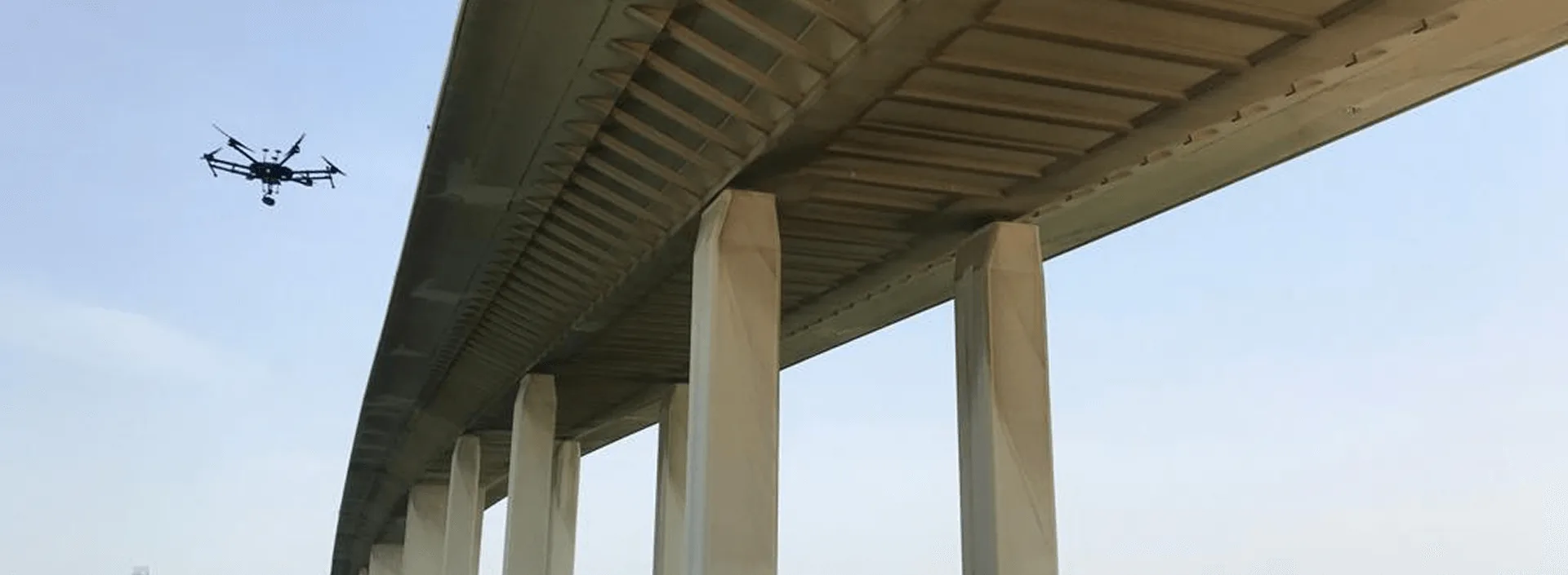
Most inspection problems are really access problems. The structure is too tall, too hot, too live, or too awkward to reach, so getting a qualified person in front of it means scaffold, rope access, a cherry picker, a climbing team, or taking the asset out of service. The inspection itself is rarely the expensive part.
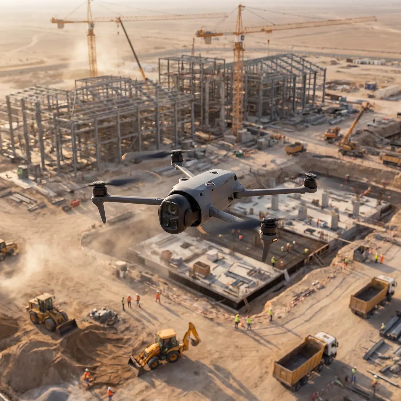
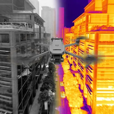
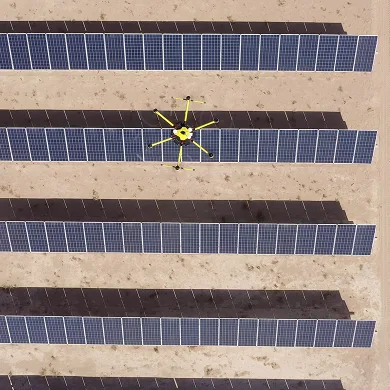
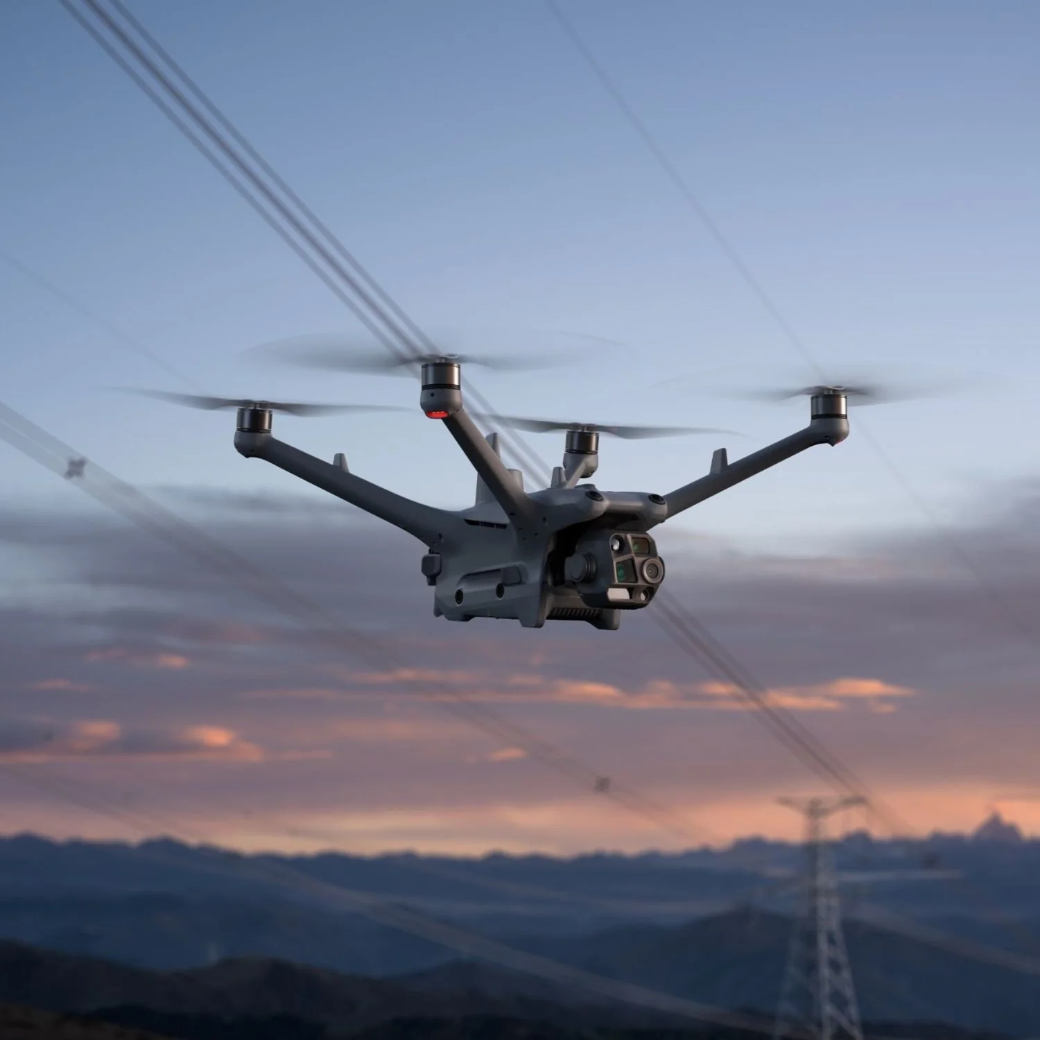
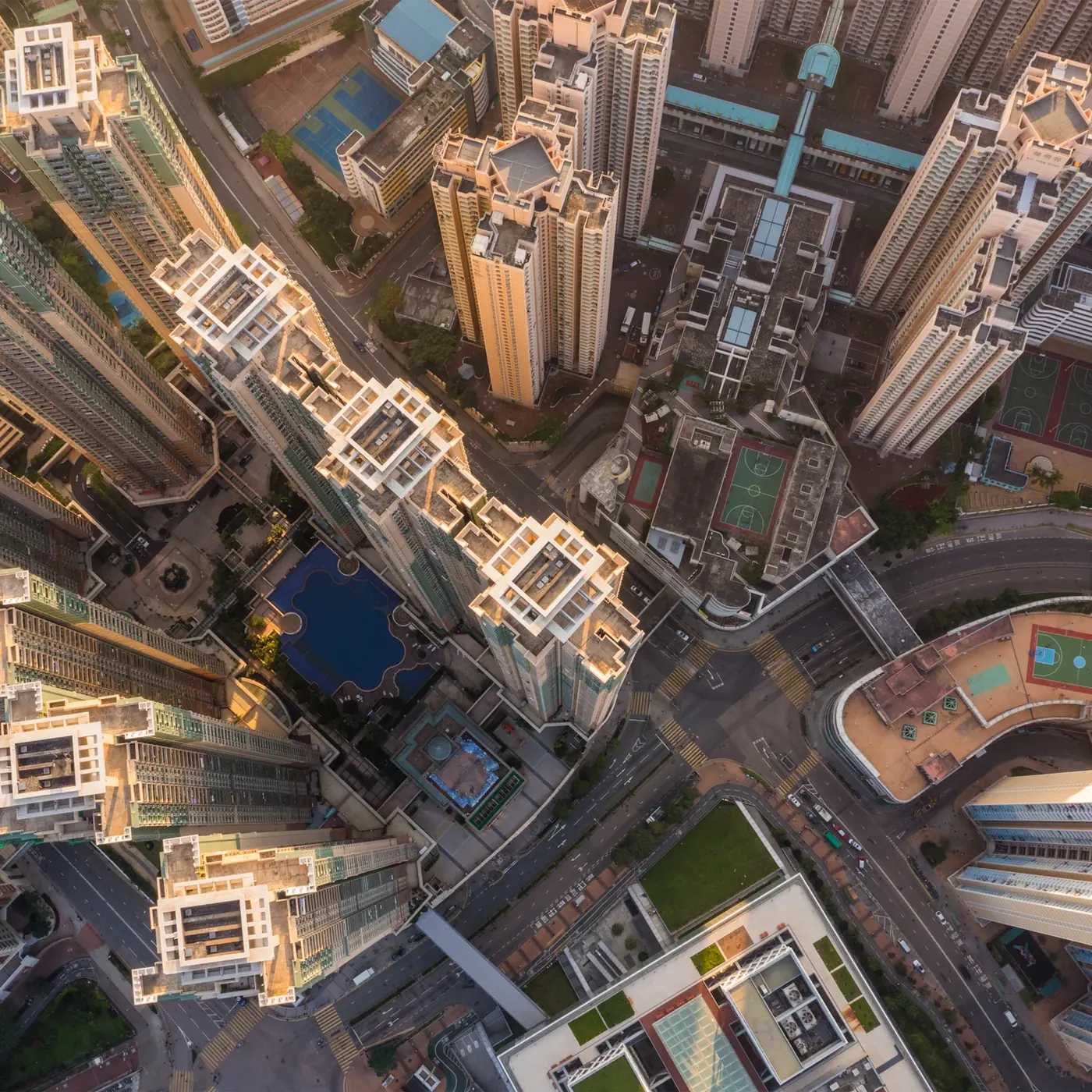
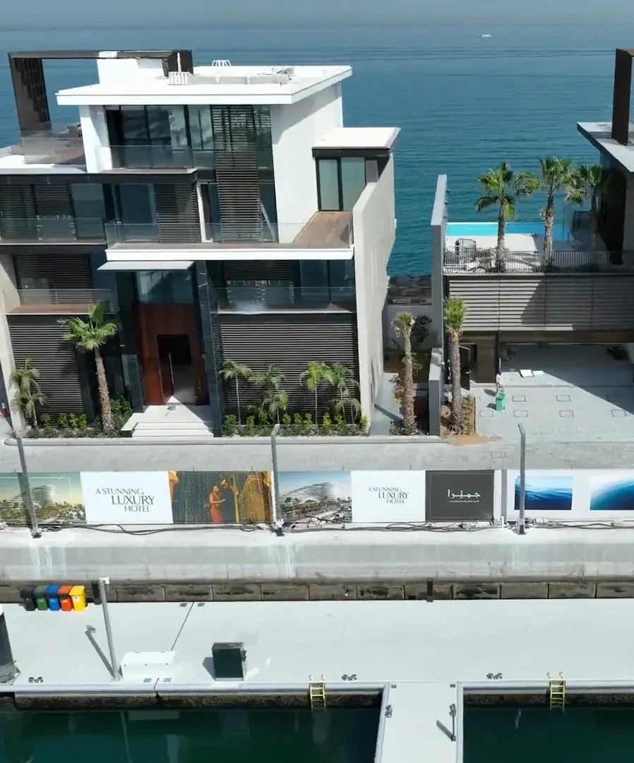
A drone removes the access cost and leaves the inspection intact. We fly automated routes at fixed standoff so every frame is captured at consistent scale with proper overlap, position each one with RTK or PPK so the imagery is georeferenced, and fly thermal alongside the visual pass where the brief calls for it. The result is a complete, measurable, located record of the asset — captured in hours, with nobody working at height.
Because flights run from stored waypoints, the next visit repeats the same positions, so two inspections months apart line up and the change between them is visible.
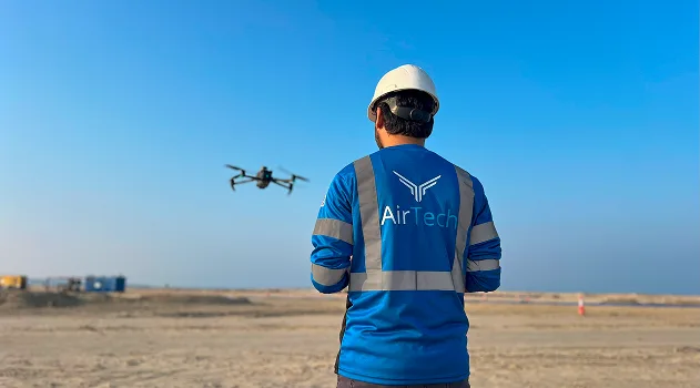
AirTech is a registered RPAS operator across all seven emirates, flying with DCAA and GCAA certified pilots and USD 5 million public liability. We handle the permit work, including the approvals a restricted, fenced or occupied site needs before anything flies.
Tell us the asset and the question you need answered, and we will tell you what can be captured, in what conditions, and who should be reading it.
Survey-grade capture with ground control, delivered in the formats your engineers already use.
A registered RPAS operator flying with DCAA and GCAA approvals, and USD 5,000,000 third-party liability cover on every job.
Every capture lands in the AirTech Portal and stays there for the contract term, with individual logins and an activity log.