

Measured, Not Estimated
Survey-grade capture with ground control, delivered in the formats your engineers already use.

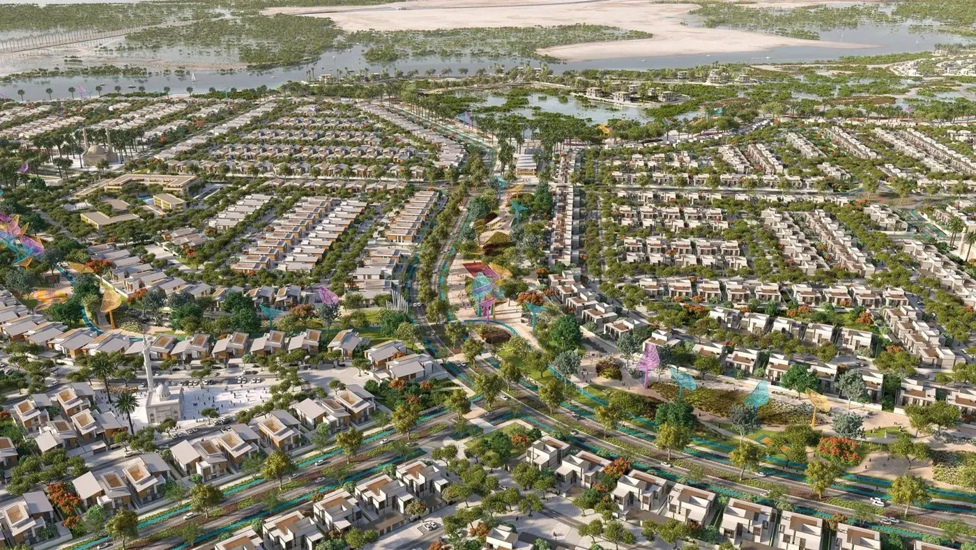
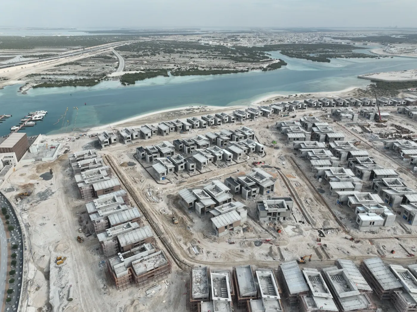
Saadiyat Lagoons is an Aldar development on Saadiyat Island, Abu Dhabi. AirTech flies monthly drone progress reports across it for Innovo and for the TGC ACC joint venture.
Saadiyat Lagoons covers a large area under phased construction, with several contractors working to different programmes. The requirement is a consistent record of the whole development rather than close coverage of one plot, on a cadence that matches how the project actually reports.
We fly every month as a repeatable automated waypoint mission. The aircraft follows the same route and captures from the same positions each time, so one month compares directly against the last rather than being a fresh set of photographs taken from wherever the pilot happened to stand. That consistency is the whole point: it is what makes a progress report a measurement rather than an impression.
Each flight captures stills, video and 360 panoramas. Everything lands in the AirTech Portal alongside any camera or survey data for the same site, so the project team compares dates in one place instead of opening three sets of files.
A monthly cycle is frequent enough to catch a programme slipping and infrequent enough that each report is worth reading. On a development with several contractors it also gives everyone one agreed record of what the site looked like on a given date, which matters when accounts are being settled.
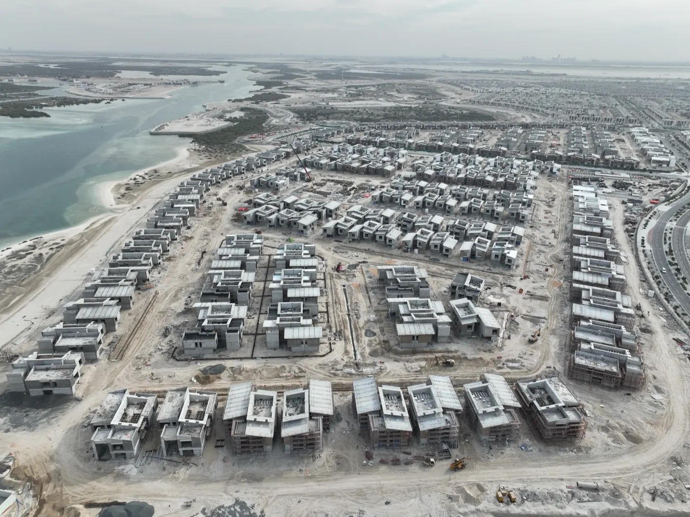
Masterplan visualisation: Aldar. Drone survey and progress imagery: AirTech.
Survey-grade capture with ground control, delivered in the formats your engineers already use.
A registered RPAS operator flying with DCAA and GCAA approvals, and USD 5,000,000 third-party liability cover on every job.
Every capture lands in the AirTech Portal and stays there for the contract term, with individual logins and an activity log.