
Measured, Not Estimated
Survey-grade capture with ground control, delivered in the formats your engineers already use.

Sphere Abu Dhabi is being built on Yas Island, between Yas Mall and SeaWorld, for DCT Abu Dhabi and Sphere Entertainment. ALEC is the main contractor, with AtkinsRéalis as lead consultant, and the venue is due to open in 2029. AirTech documents the build on a multi-year appointment covering both time-lapse and live monitoring.
A sphere has no flat elevation to shoot. There is no front, and no angle from which the form reads correctly for the whole of a build that will run for years. Coverage has to be planned in the round, from positions that stay useful as the frame rises and the surface closes — and the best vantage points are often on neighbouring structures rather than inside the site fence.
The hard part is that those positions have to be committed early. A pole goes in, a wayleave gets agreed, power and connectivity get run to it, and that camera then has to still be framing the right thing four years later when the structure it was pointed at is finally there.
AirTech’s portal holds a BIM model of the Sphere superstructure sitting on a 3D tiled photogrammetric model of the site, georeferenced to UTM Zone 40N. Because the camera positions are surveyed in the same coordinate frame, they drop straight into that model with no transform.
That let us place a virtual camera at every proposed pole, with the real lens, the real sensor and the real mounting height, and look at what it would actually see — of the completed Sphere, not of today’s earthworks. Field of view was computed per camera and checked against the finished form, so each position was validated on the building that will exist rather than framed against the one that does.
It also makes the awkward questions answerable before they cost anything: whether a pole clears a neighbouring roofline, how much headroom a lens leaves above the crown, and which positions become redundant once the structure closes. Drawing framing boxes on a photograph of piling works cannot answer any of those.
Solar-powered time-lapse cameras on site and on surrounding structures, running through daylight hours with their own battery and 4G connectivity, so they need no site power and no site network. Frames are captured RAW 16-bit rather than compressed, so an image pulled years later still holds up at print size.
Alongside them, 4K PTZ cameras provide live view around the clock on web and mobile, recording continuously to an on-site recorder. We pull native 3840 × 2160 stills directly from the encrypted camera streams on a scheduled pass, with each frame validated on capture and written with embedded metadata identifying the site, the camera, the stream and the exact capture time.
The PTZ cameras therefore do two jobs at once. Between live monitoring duties, each one moves to a preset frame and takes a 4K still on a fixed interval, producing a close-up time-lapse of a specific element as well as the wide record. That is software configuration on cameras already installed, not additional hardware.
On a build this long the risk is not the installation, it is the gap in the record when something fails in year three. Faults raise an alert within 24 hours and we hold spare units so a replacement is on the pole within 48. Both camera types carry their own power, so a site outage does not end the record.
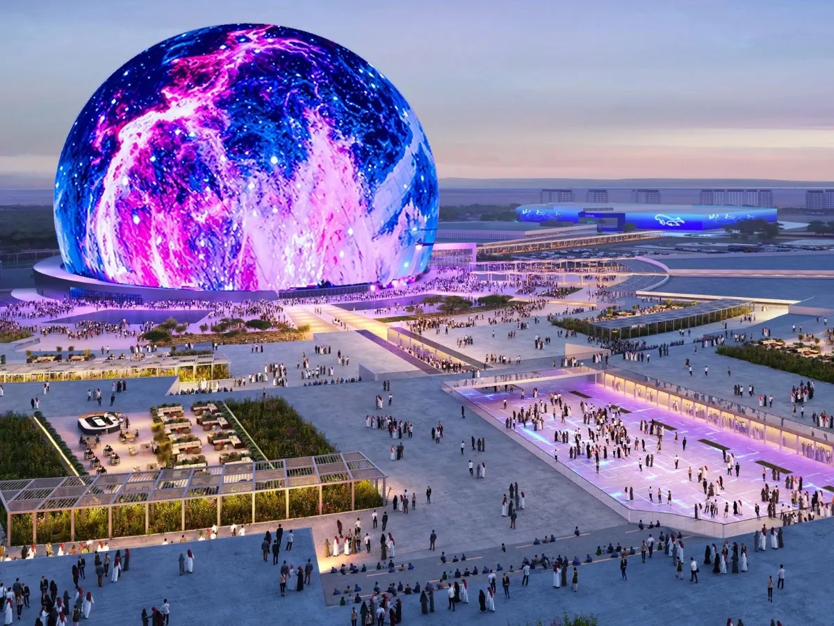
Visualisation: Sphere Abu Dhabi. Time-lapse, 4K PTZ capture and camera planning: AirTech.
Survey-grade capture with ground control, delivered in the formats your engineers already use.
A registered RPAS operator flying with DCAA and GCAA approvals, and USD 5,000,000 third-party liability cover on every job.
Every capture lands in the AirTech Portal and stays there for the contract term, with individual logins and an activity log.